

")


Cartes vectorielles Meltemus
Les packs de cartes Meltemus sont utilisables seulement avec qtVlm, sur toutes les plateformes (Windows, MacOS, Linux, Android, iOS et Raspberry). Sur Android, iOS et tablette Windows, il est nécessaire de disposer d'une version complète de qtVlm pour pouvoir afficher les packs de cartes.
Pendant un an, vous recevrez les mises à jour toutes les semaines, à l'exception des cartes dérivées de UKHO (AR, BE, ES, GB, HR, IS, MT, NL, PT, SR, ZA) qui sont mises à jour tous les trimestres.
En fin de licence les cartes restent accessibles mais ne peuvent plus être mises à jour ni installées ni réinstallées.
Chaque pack peut être installé sur 3 machines différentes.
Une fois l'achat finalisé, nous vous créerons un compte Meltemus et vous enverrons les éléments de connexion que vous pourrez utiliser dans le gestionnaire de licence de qtvlm (menu->qtVlm->Gestion des licences). Cette étape du processus est manuel, il est possible qu'un certain délai s'écoule entre votre achat et notre prise en compte.
Depuis la gestion des licences vous pourrez alors consulter vos achats et installer ou mettre à jour les cartes sur votre machine.
Les renouvellements se font au même prix que l'achat initial
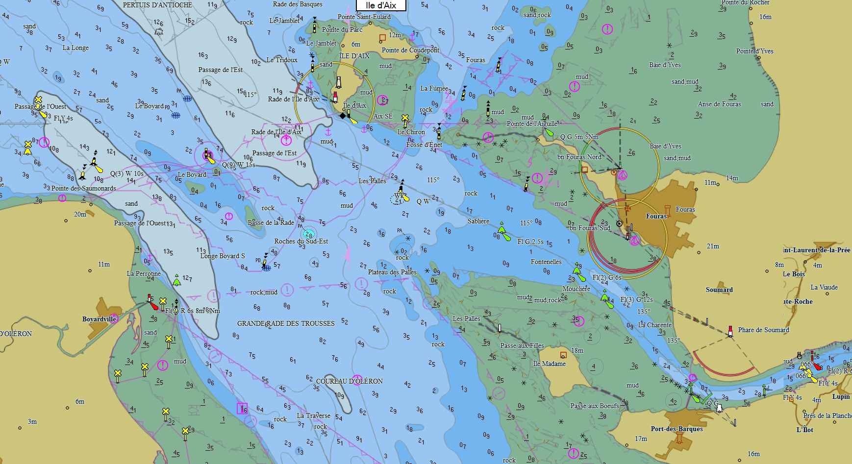
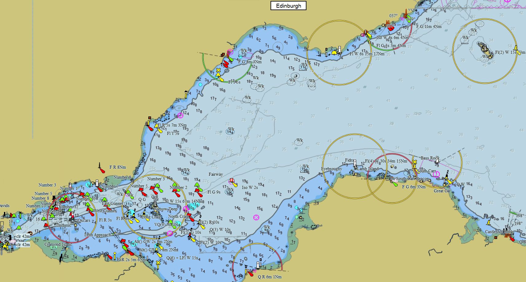
Packs - Europe du Nord
|
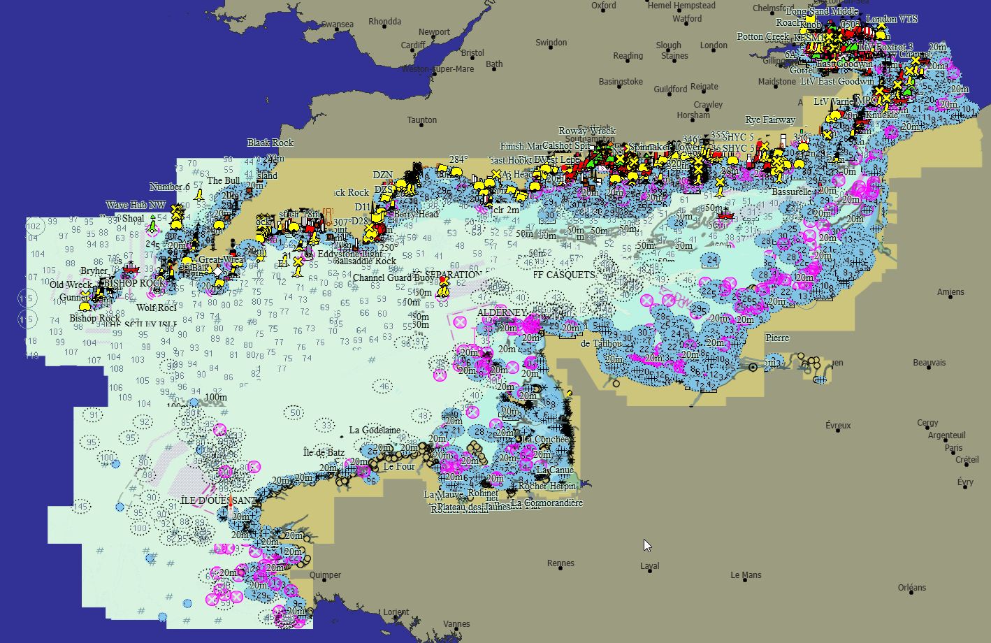
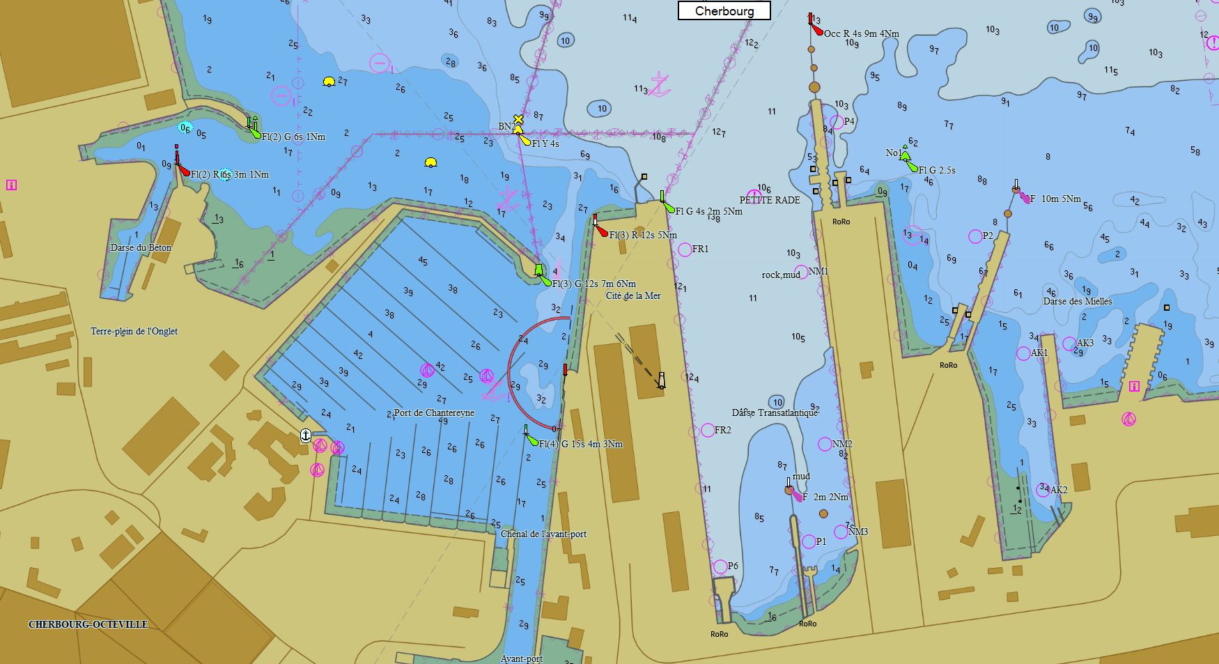
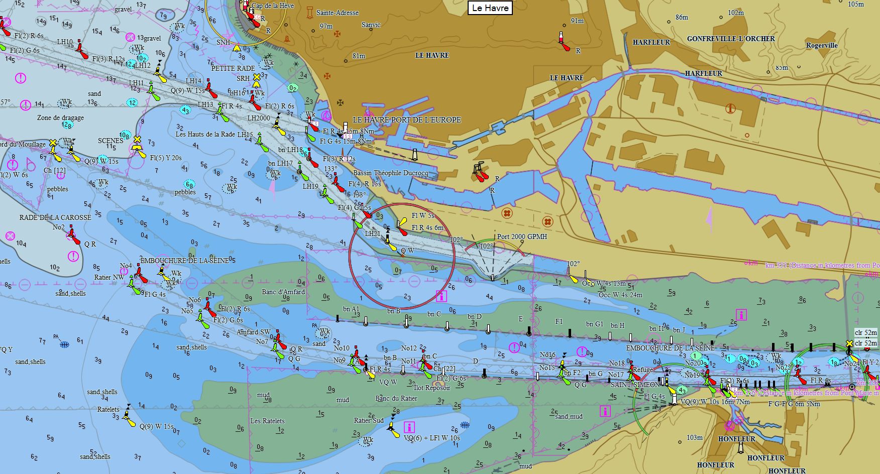
Manche 268 cartes 79 € Acheter |
|
|
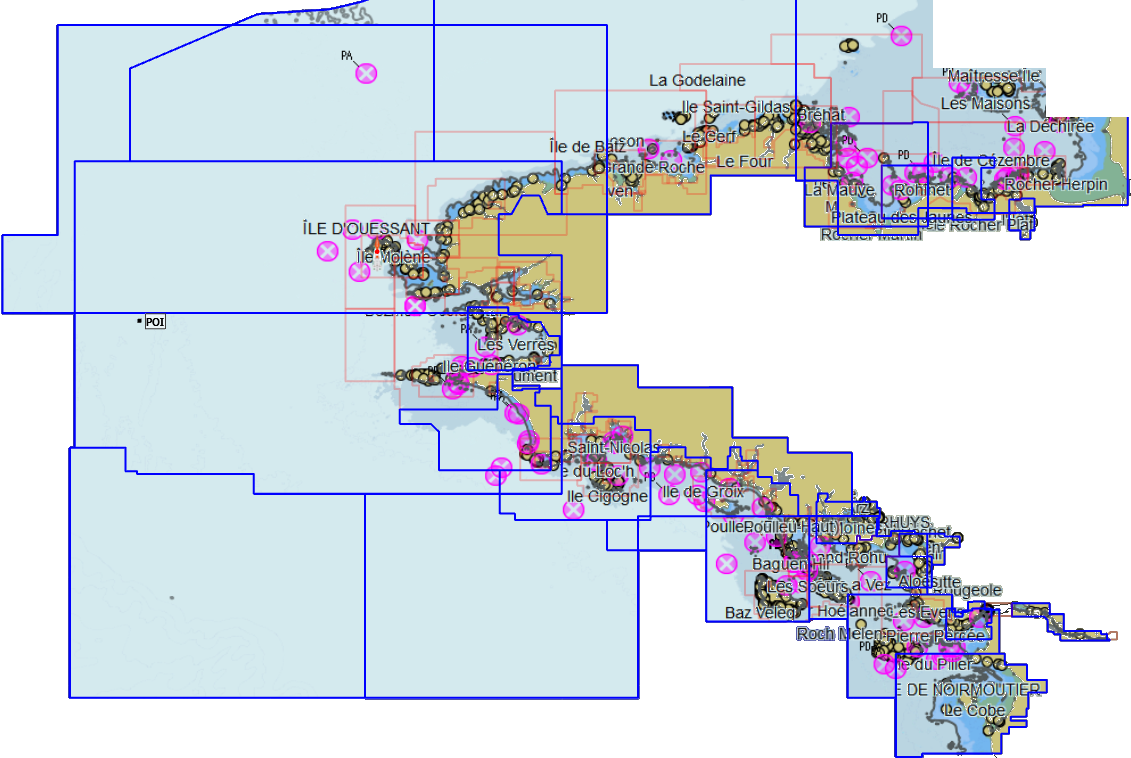
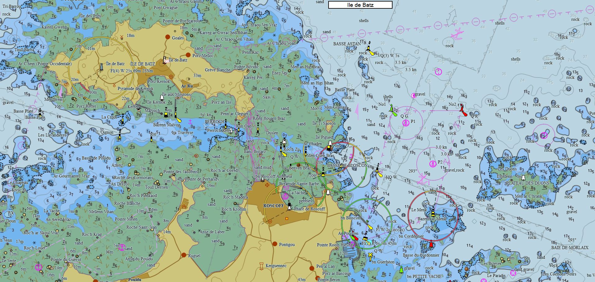
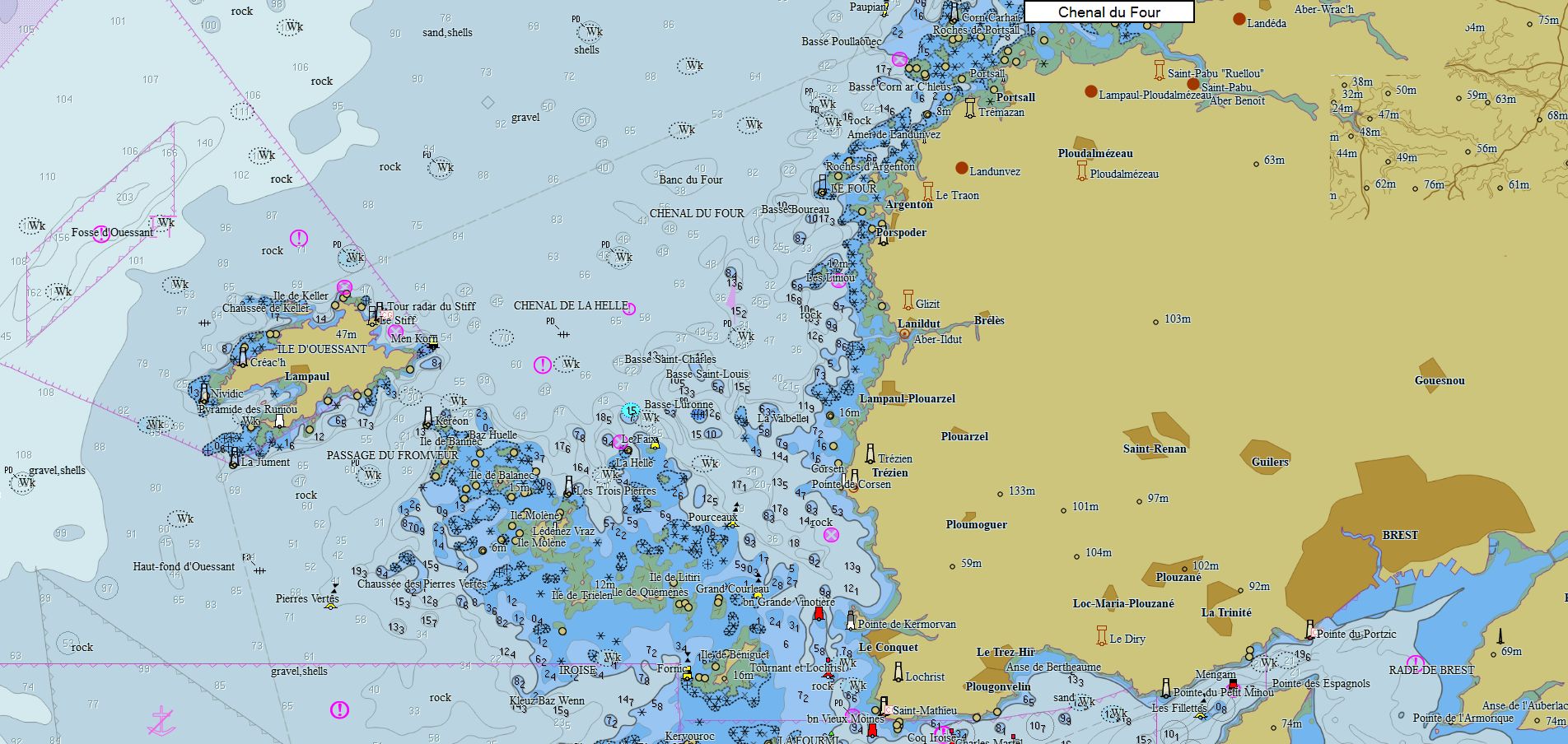
Bretagne 112 cartes 79 € Acheter |
|
|
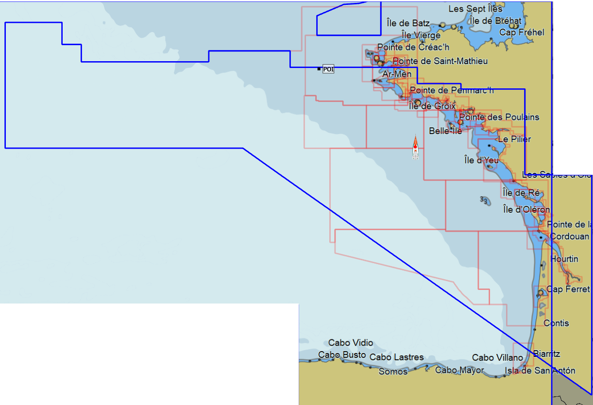
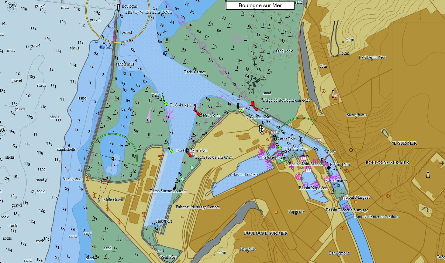
Atlantique France 119 cartes 79 € Acheter |
|
|
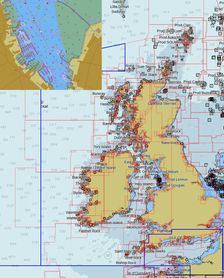
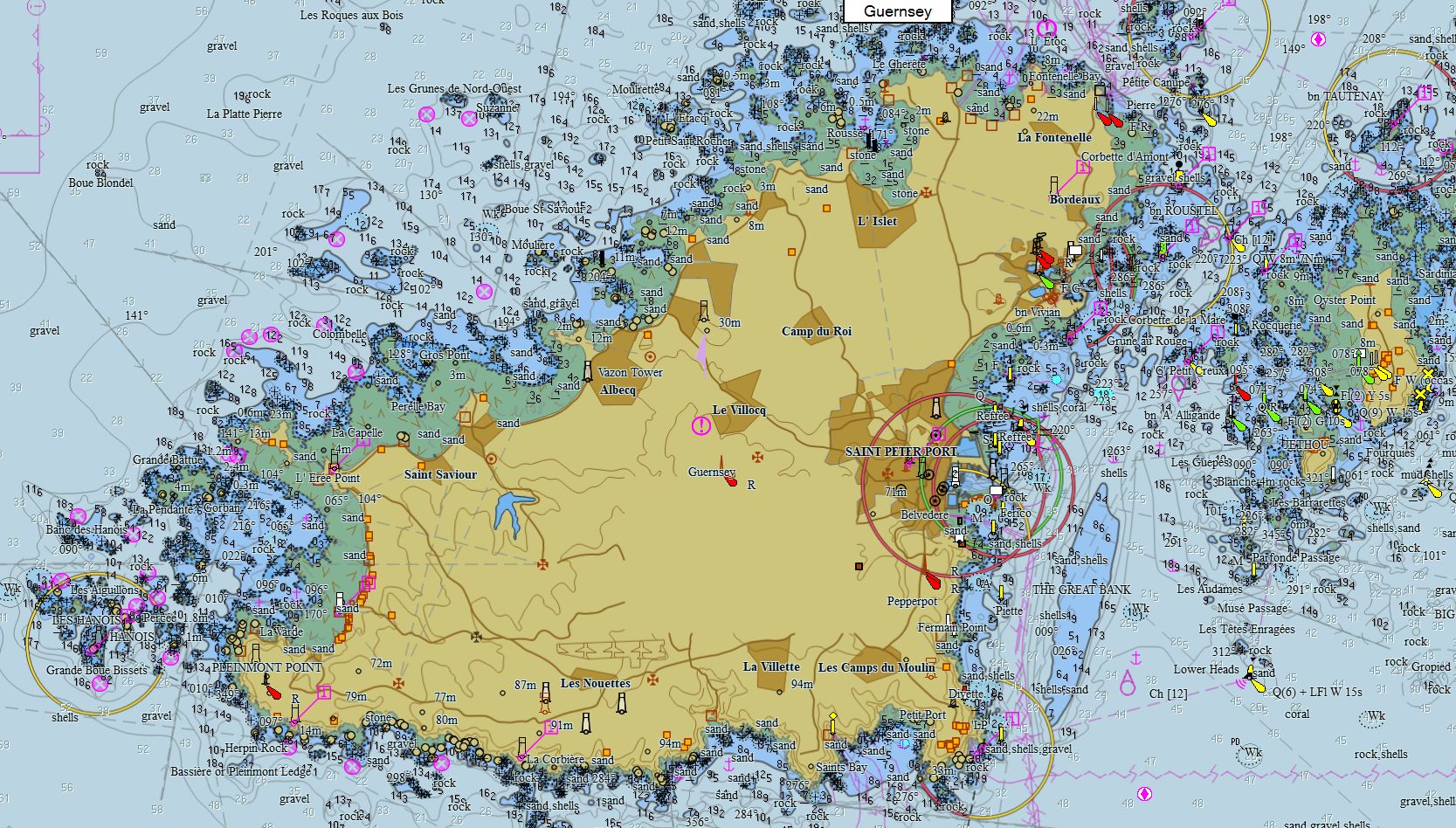
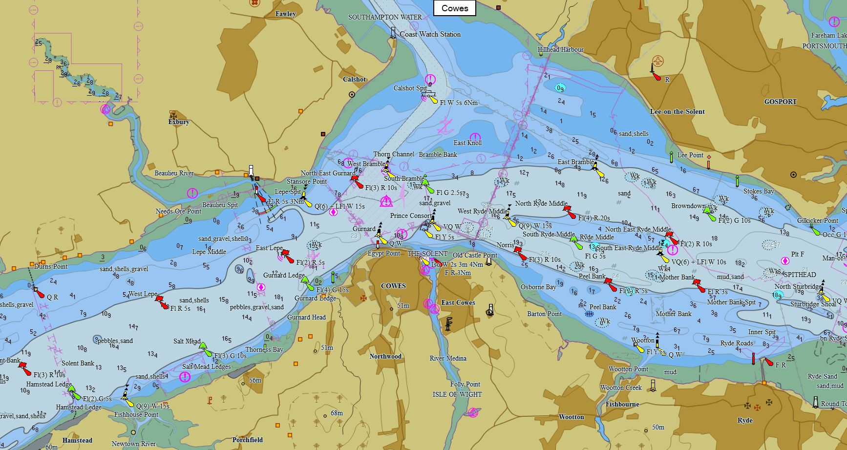
Iles Britanniques 821 cartes 89 € Acheter |
|
|
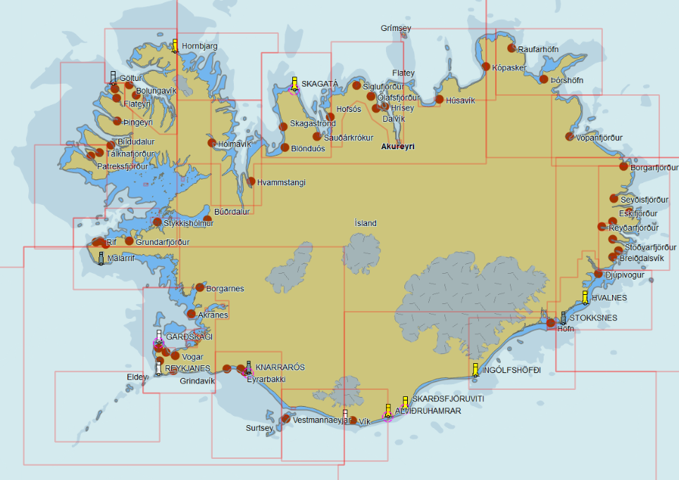
Islande 82 cartes 59 € Acheter |
|
|
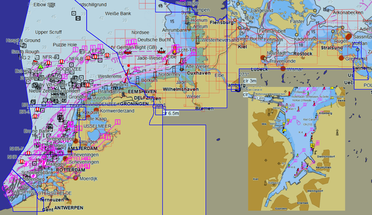
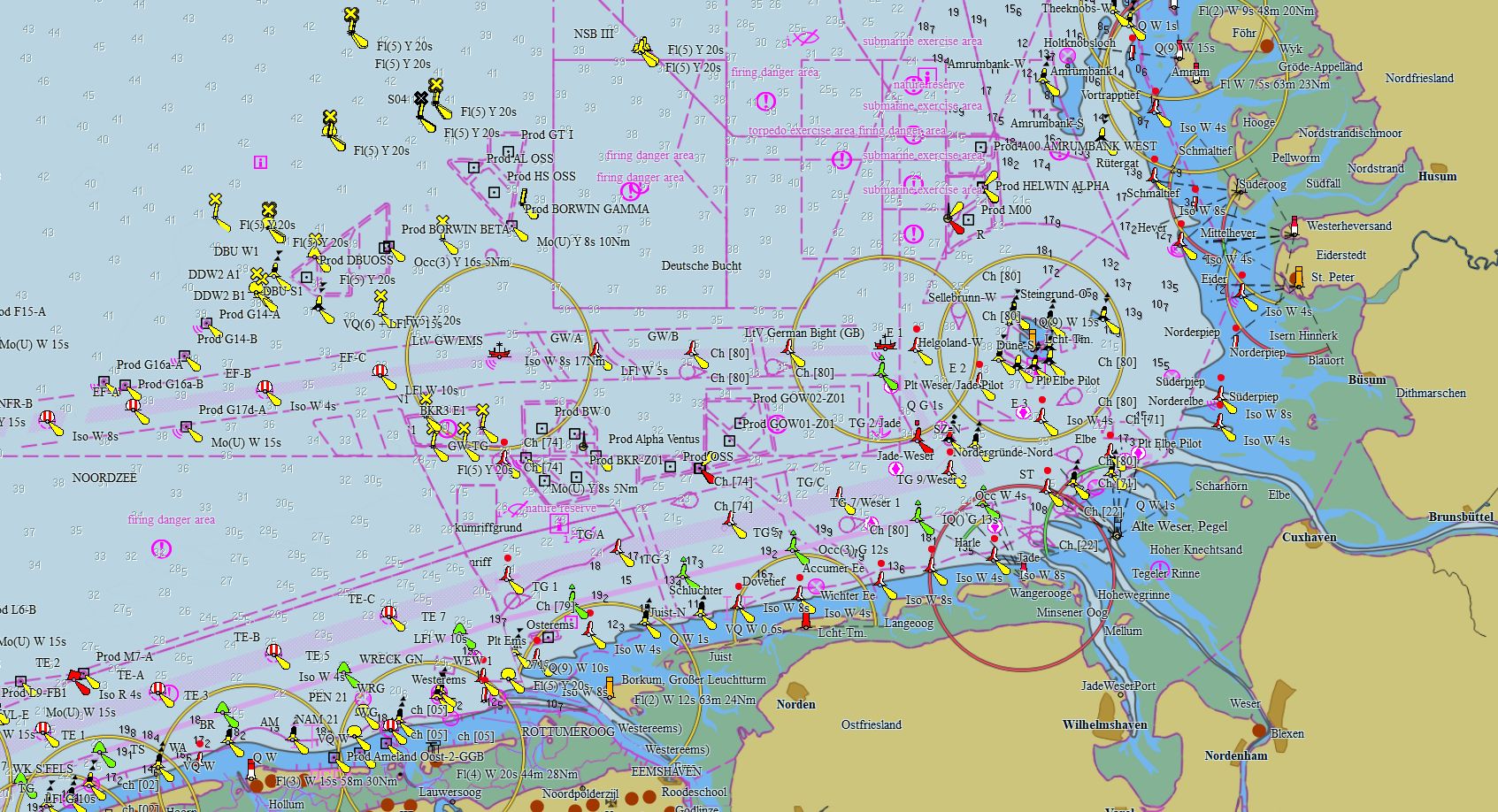
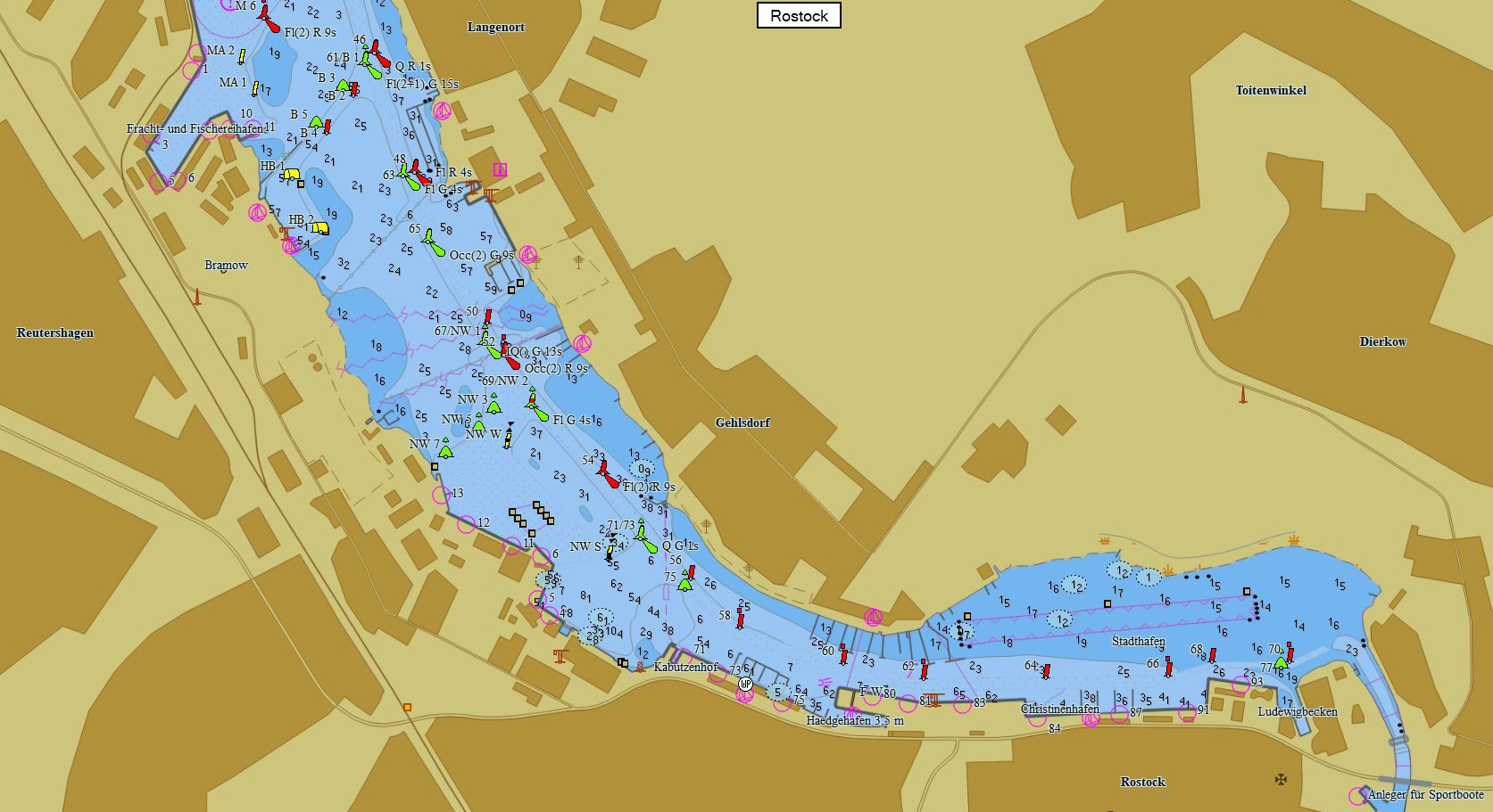
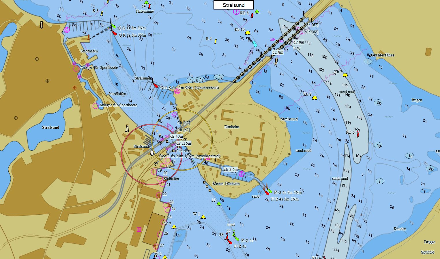
Allemagne - Pays Bas - Belgique 449 cartes 99 € Acheter |
|
|
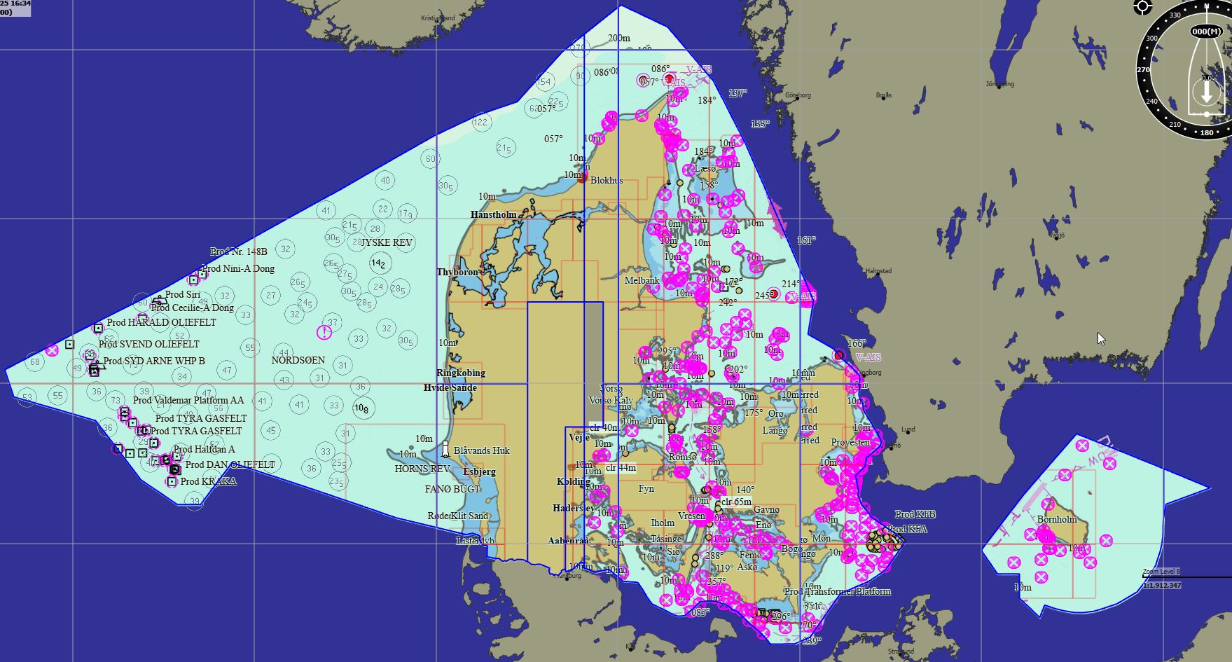
Danemark 391 cartes 89 € Acheter |
|
|
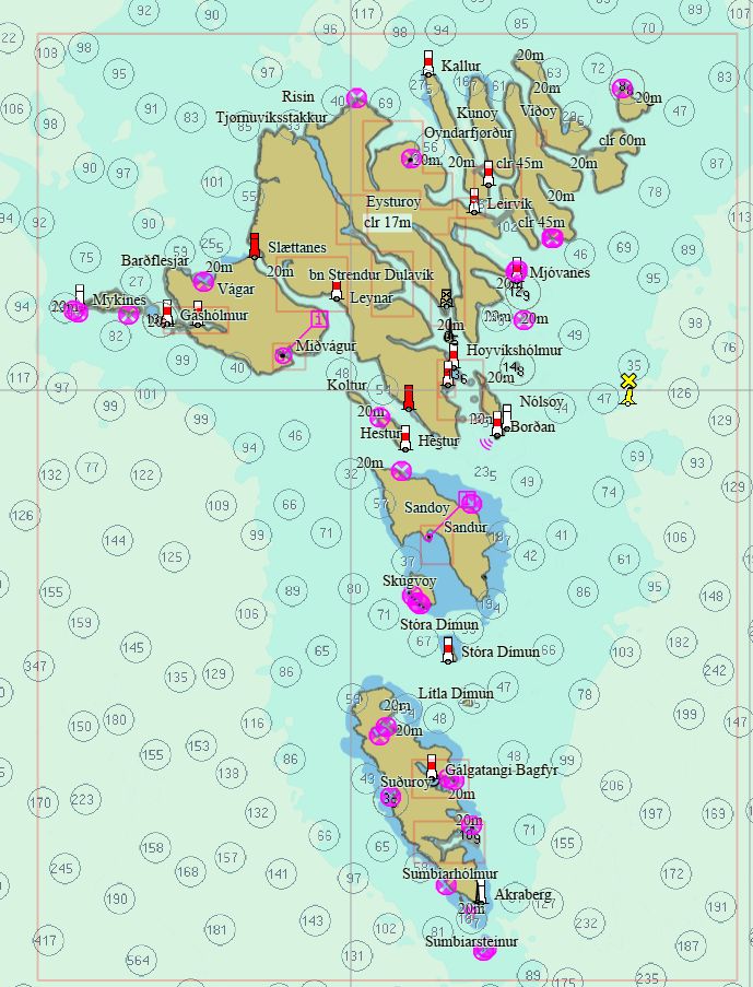
Îles Féroé 11 cartes 59 € Acheter |
|
|
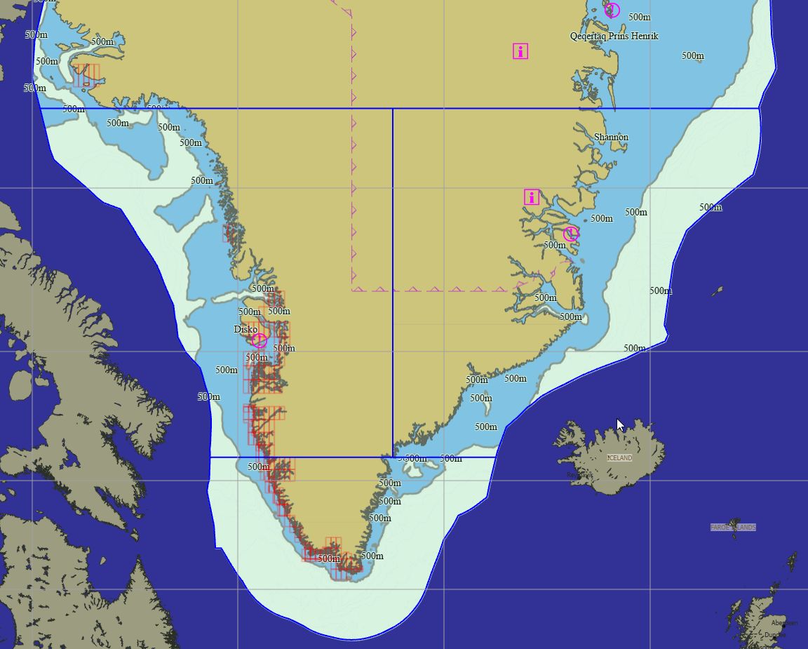
Groenland 247 cartes 79 € Acheter |
|
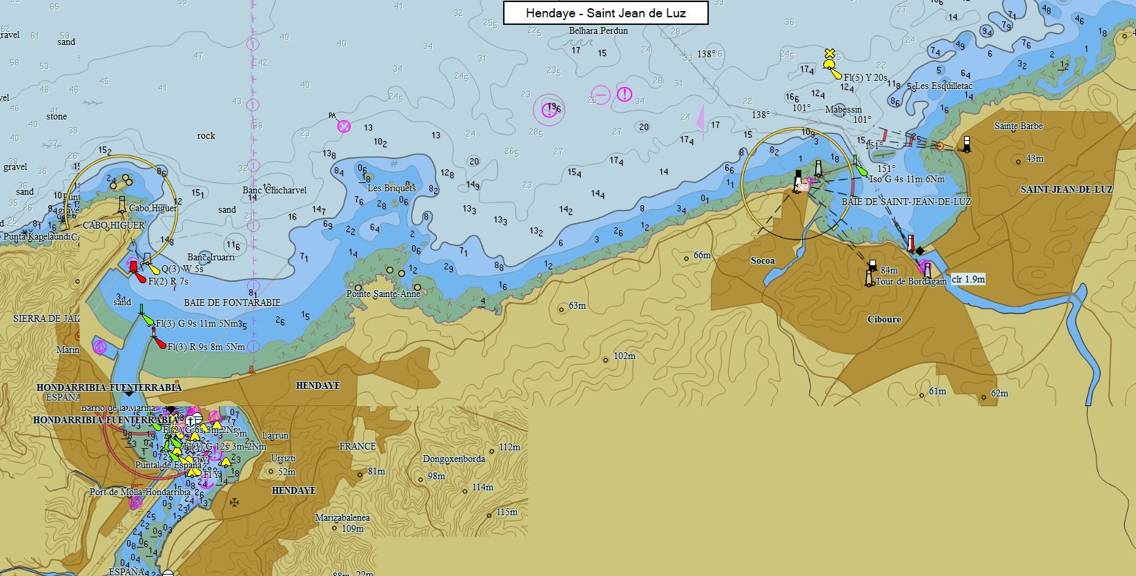
Packs - Europe du Sud
|
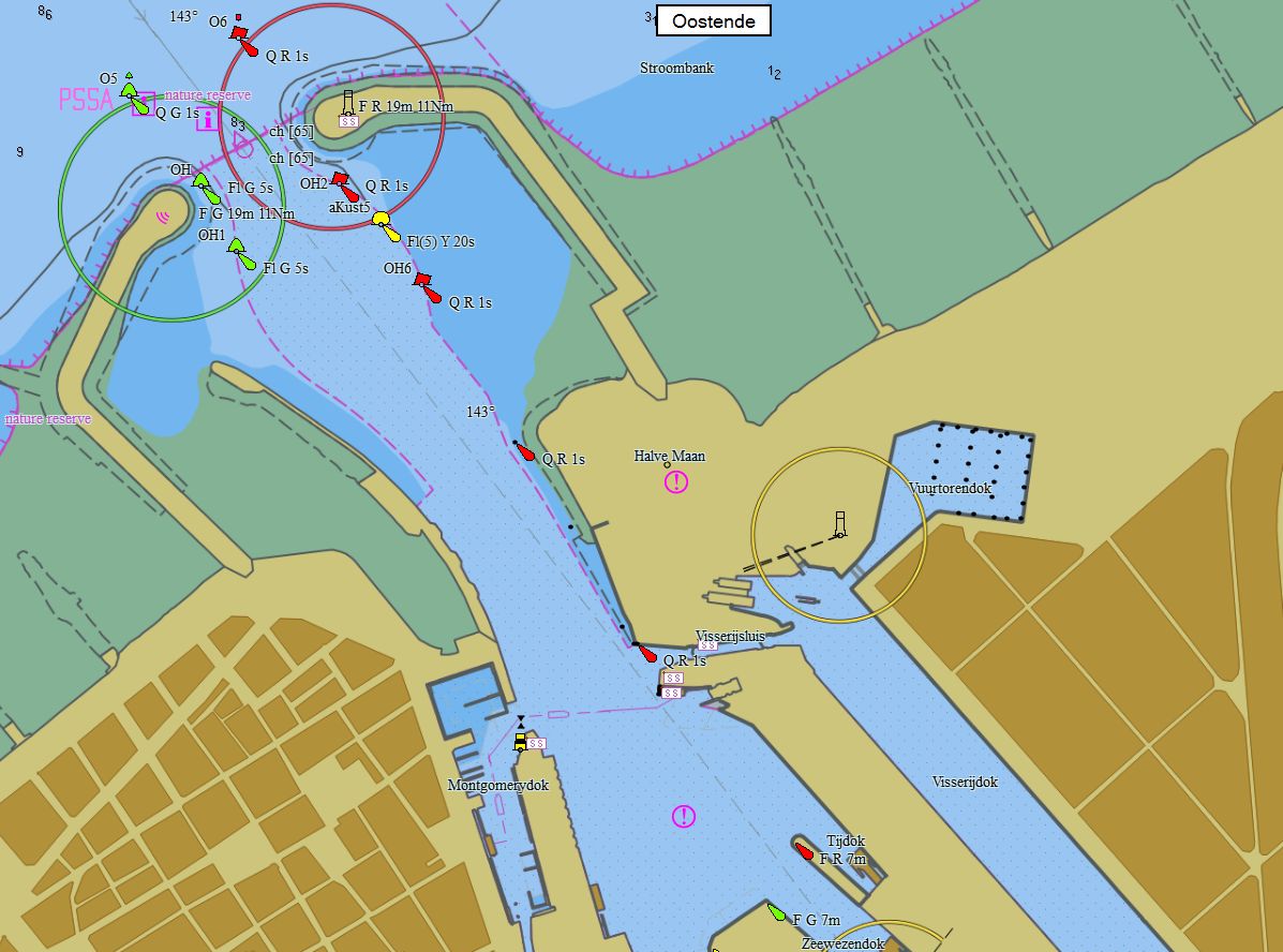
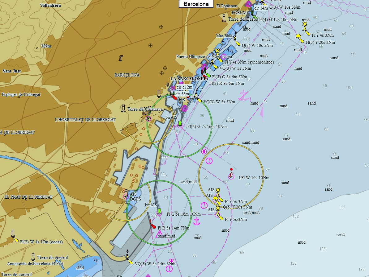
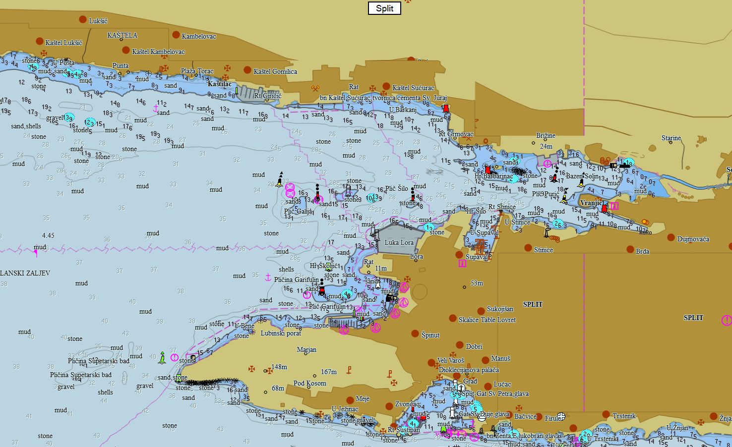
Méditerranée France 105 cartes 79 € Acheter |
|
|
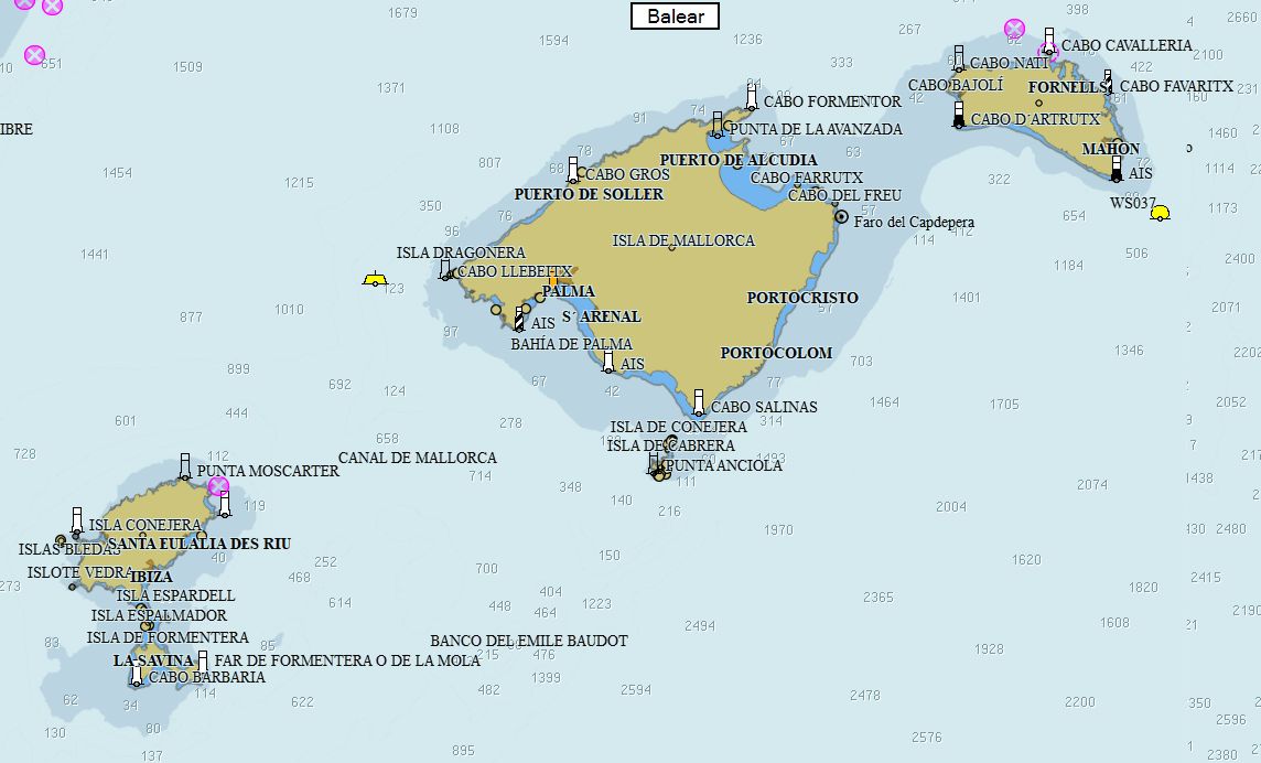
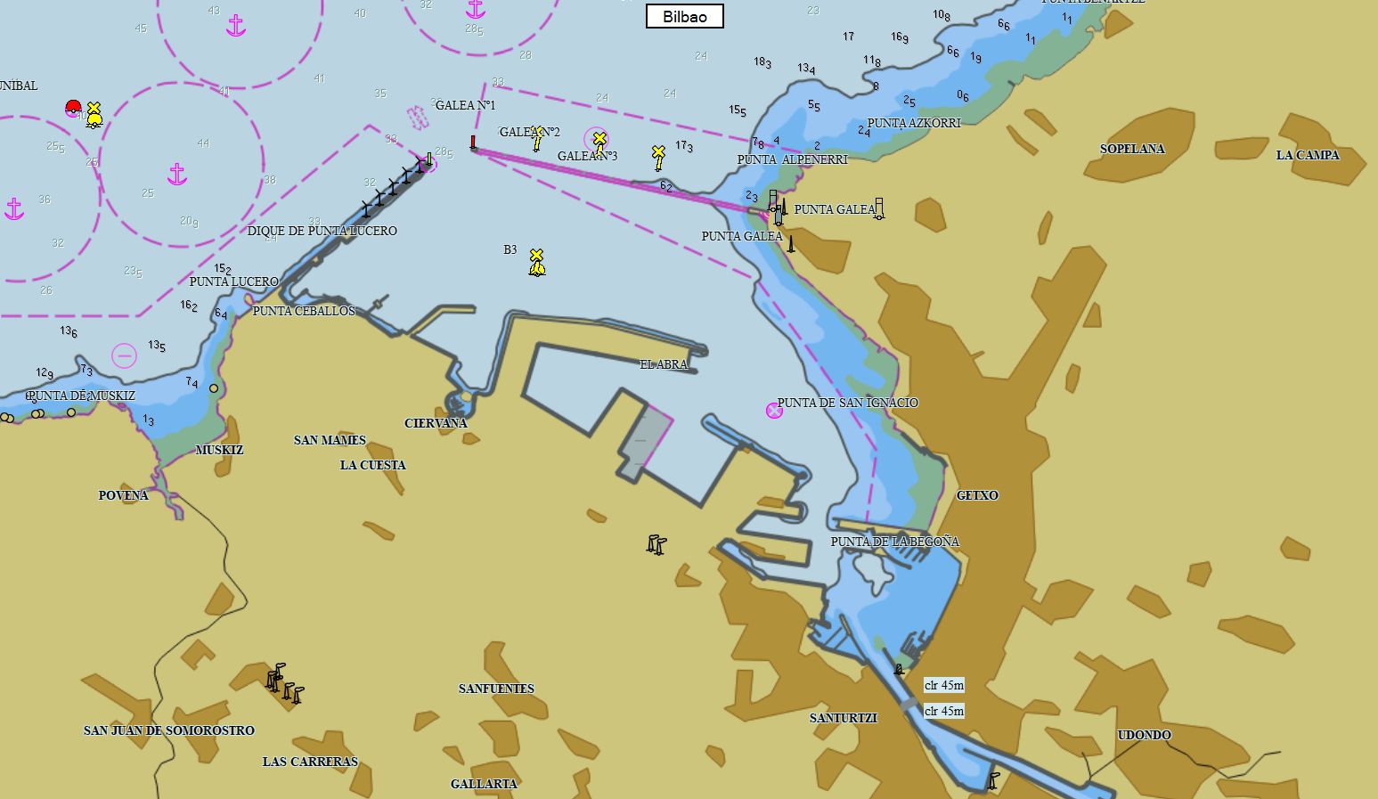
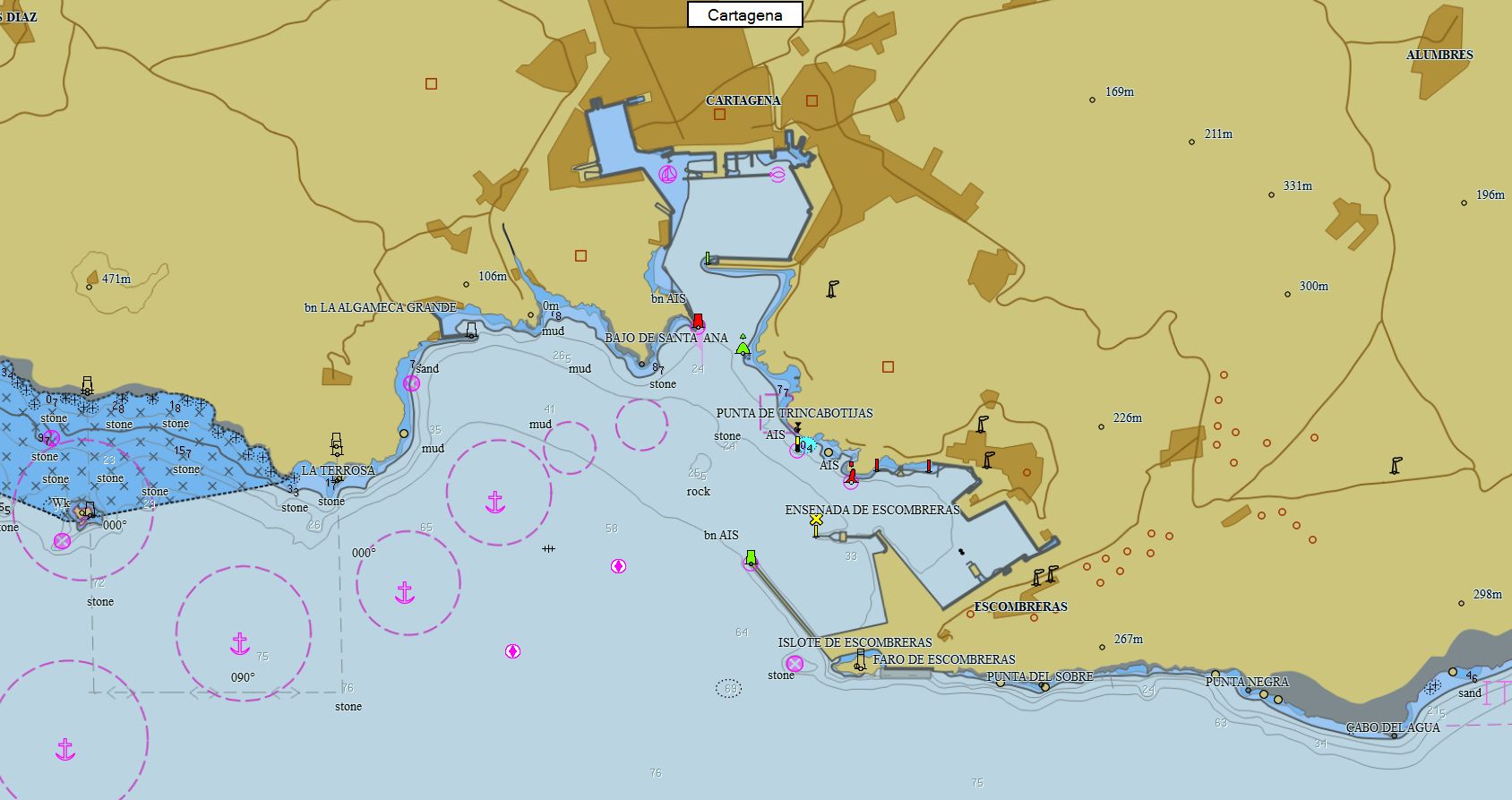
Espagne 325 cartes 79 € Acheter |
|
|
Portugal 97 cartes 69 € Acheter |
|
|
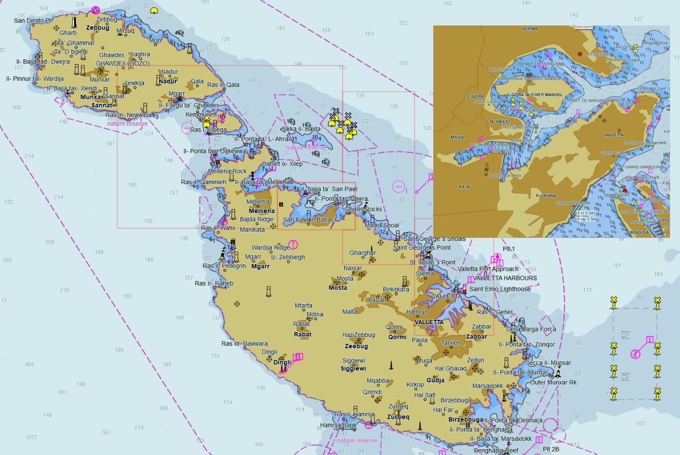
Malte 16 cartes 19 € Acheter |
|
|
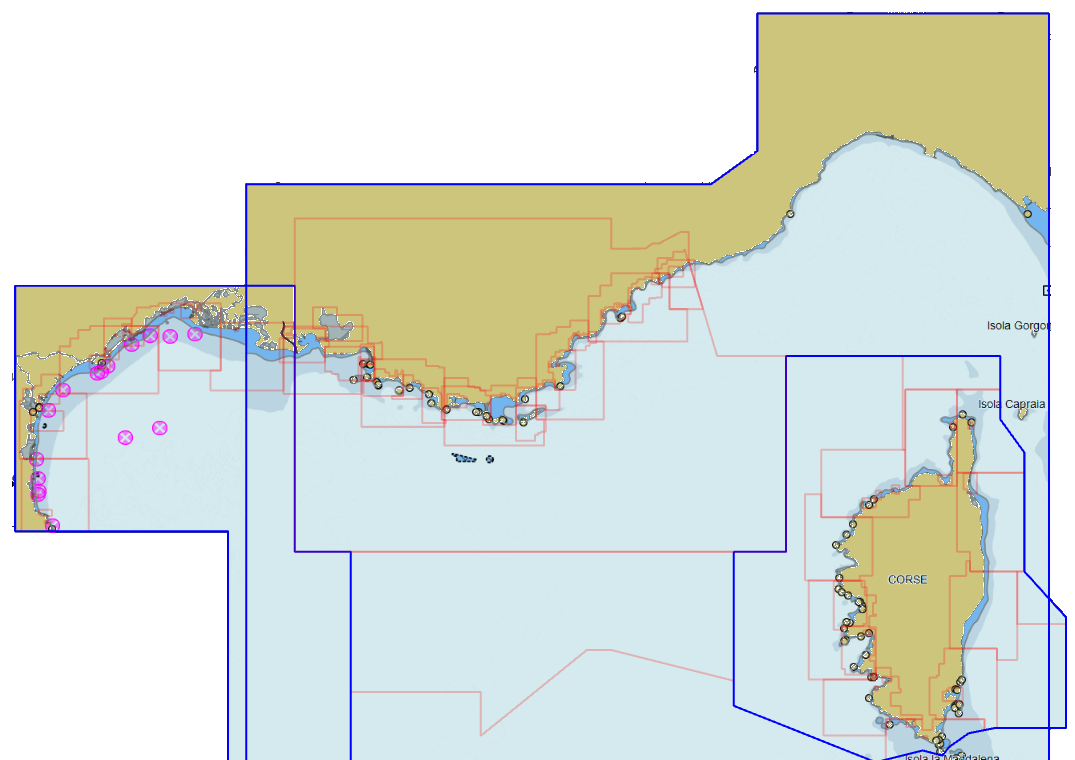
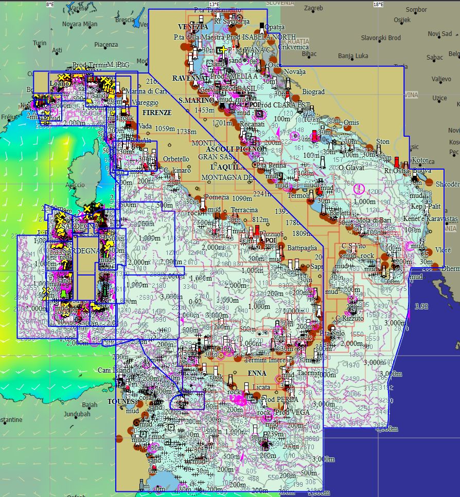
Italie 253 cartes 69 € Acheter |
|
|
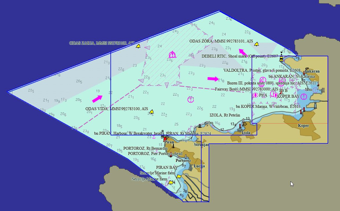
Slovénie 4 cartes 19 € Acheter |
|
|
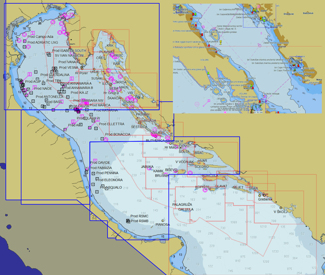
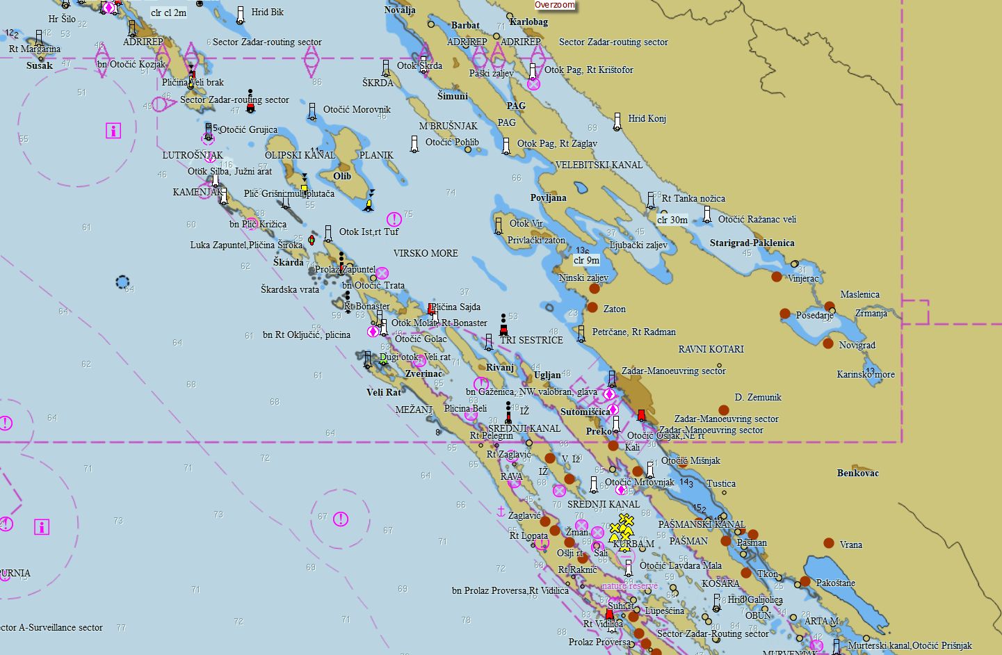
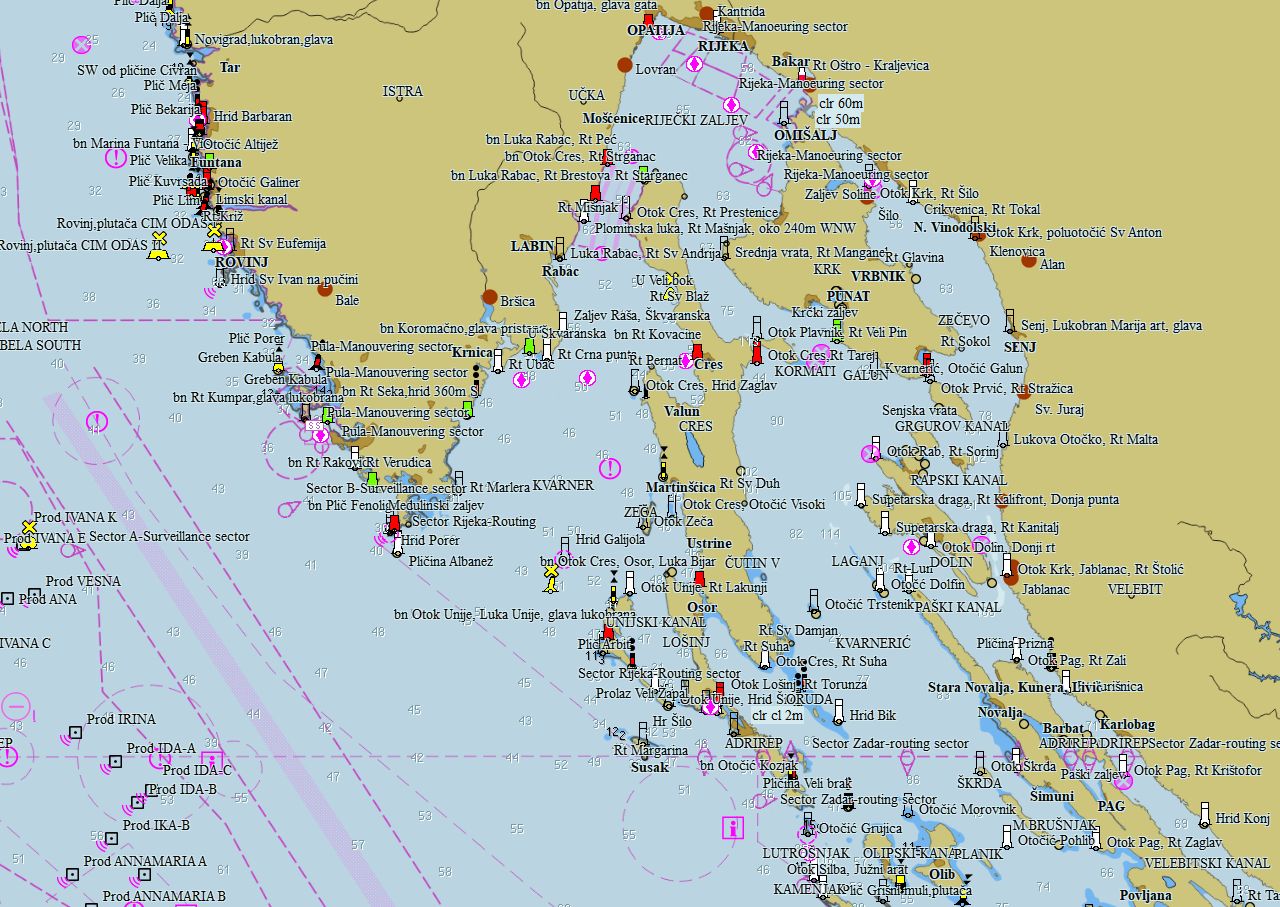
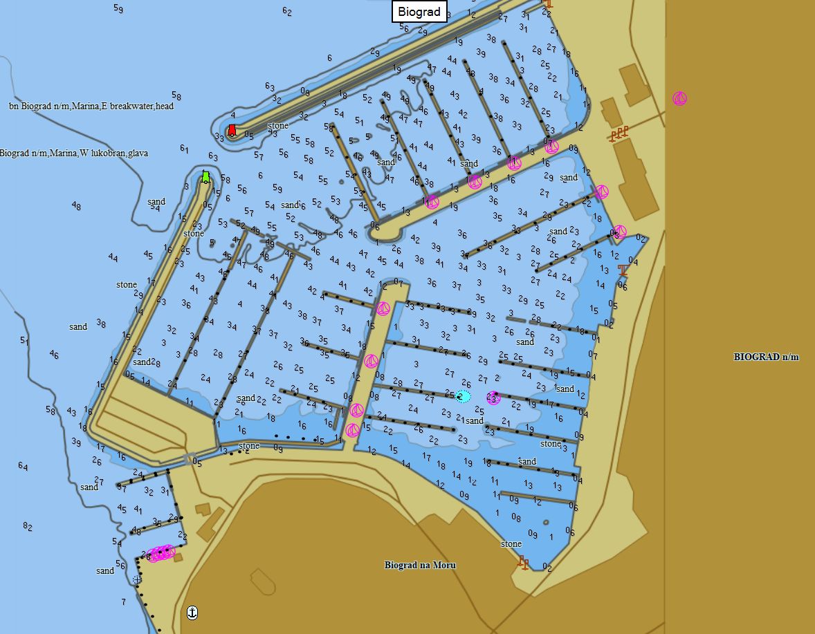
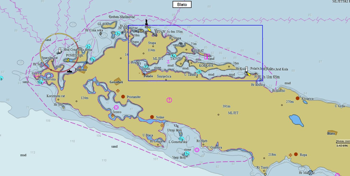
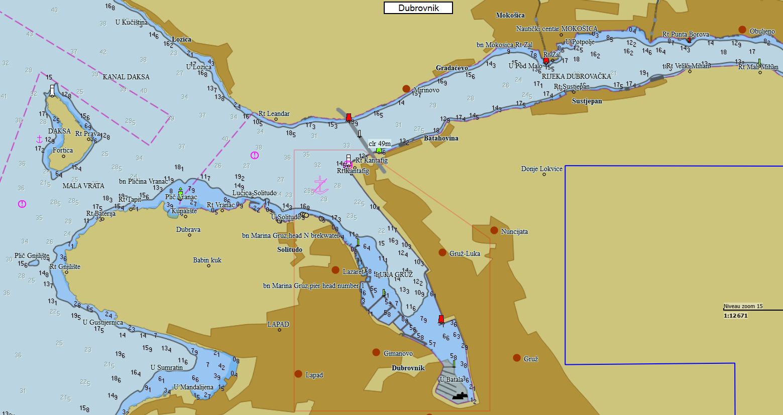
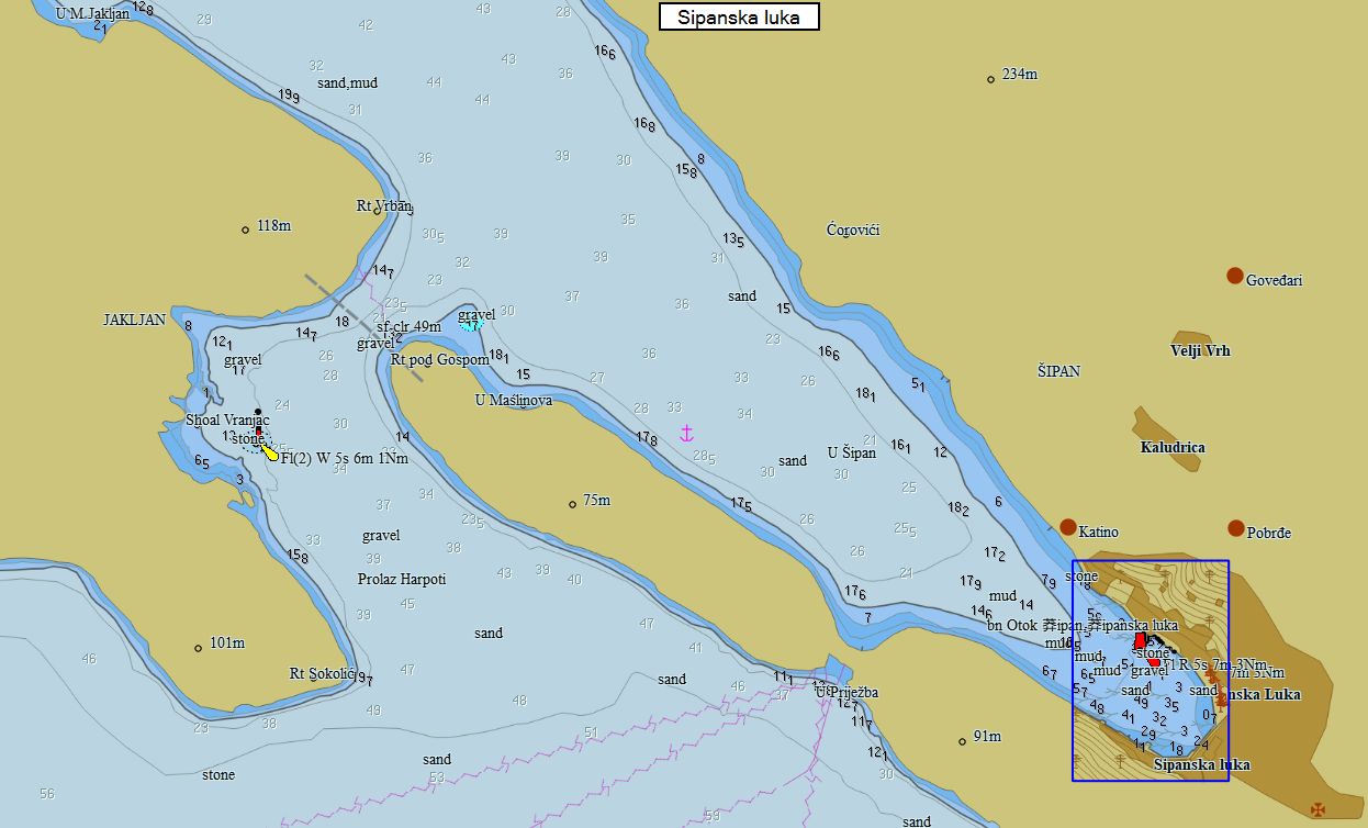
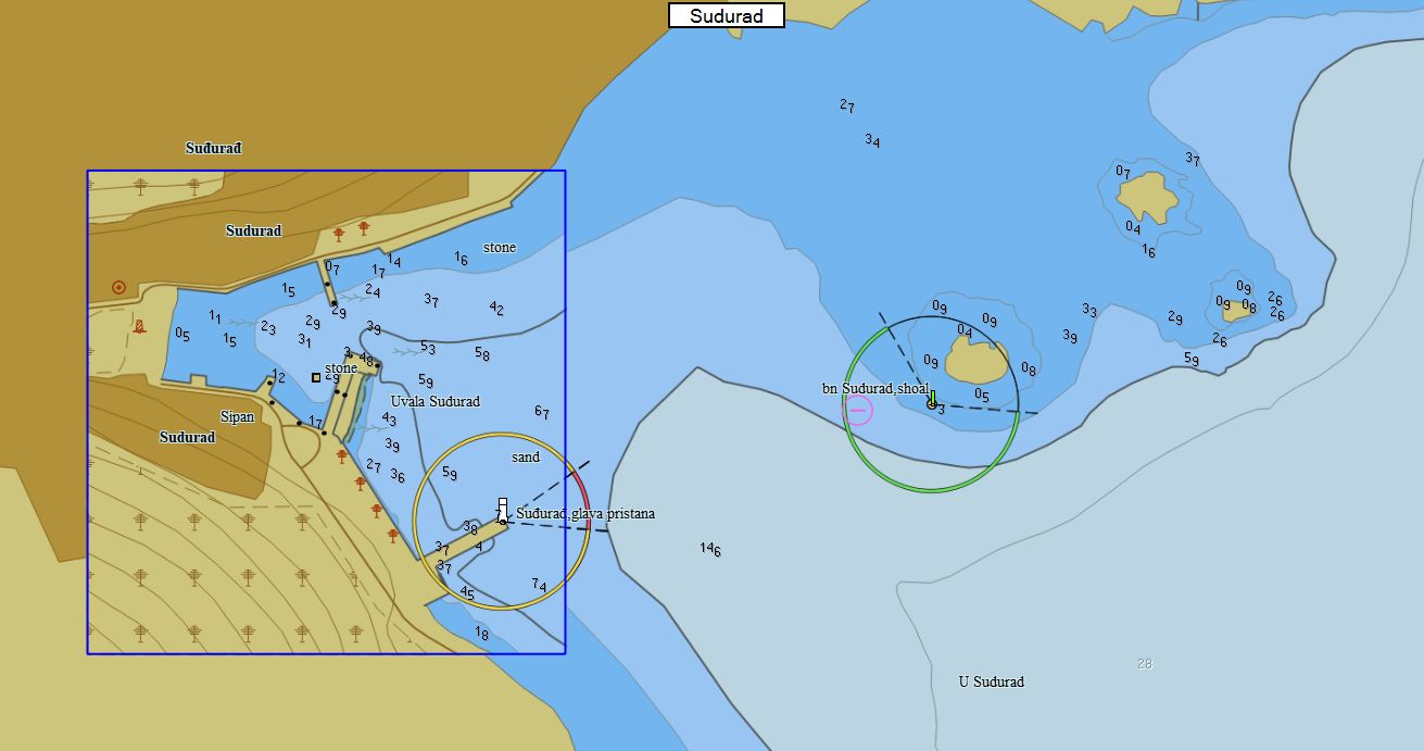
Croatie 323 cartes 99 € Acheter |
|
|
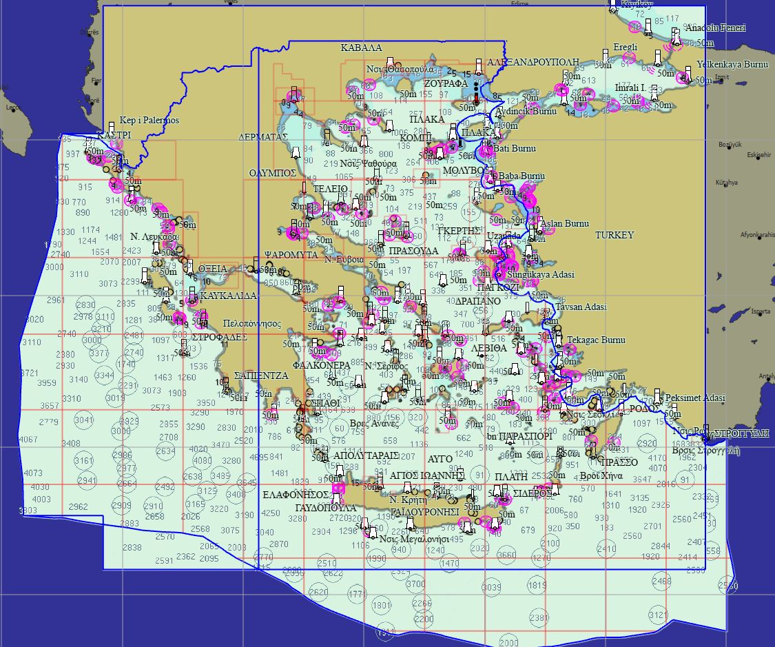
Grèce 314 cartes 99 € Acheter |
|
|
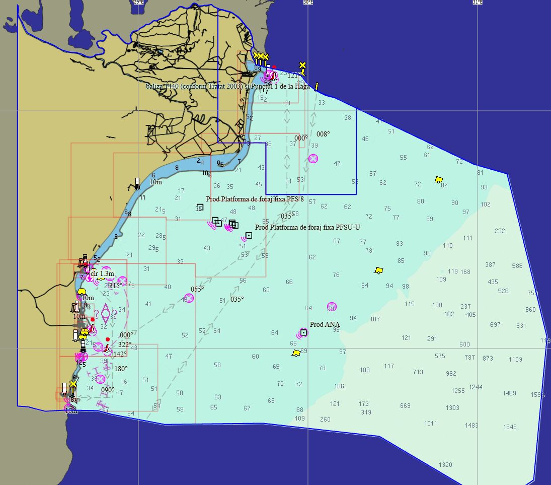
Roumanie 22 cartes 69 € Acheter |
|
|
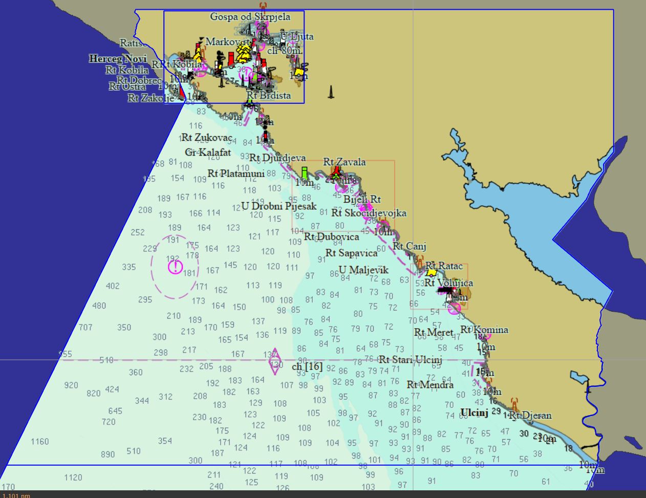
Monténégro 25 cartes 19 € Acheter |
|
Packs - Afrique
|
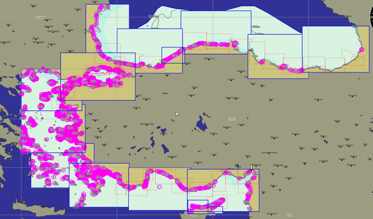
Turquie 563 cartes 89 € Acheter |
|
|
Egypte Méditerranée 27 cartes 59 € Acheter |
|
|
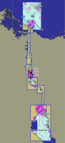
Egypte Suez 14 cartes 69 € Acheter |
|
|
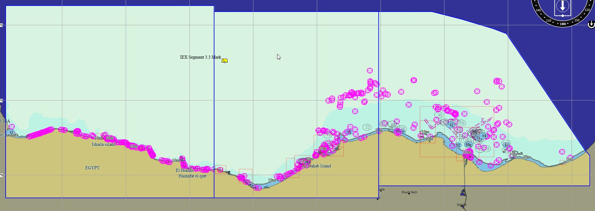
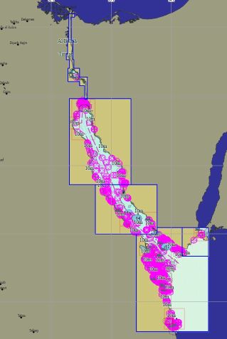
Egypte Mer Rouge 19 cartes 59 € Acheter |
|
|
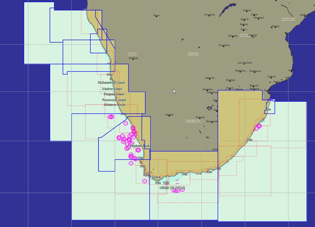
Afrique du Sud 56 cartes 79 € Acheter |
|
Packs - Amérique du Sud
|
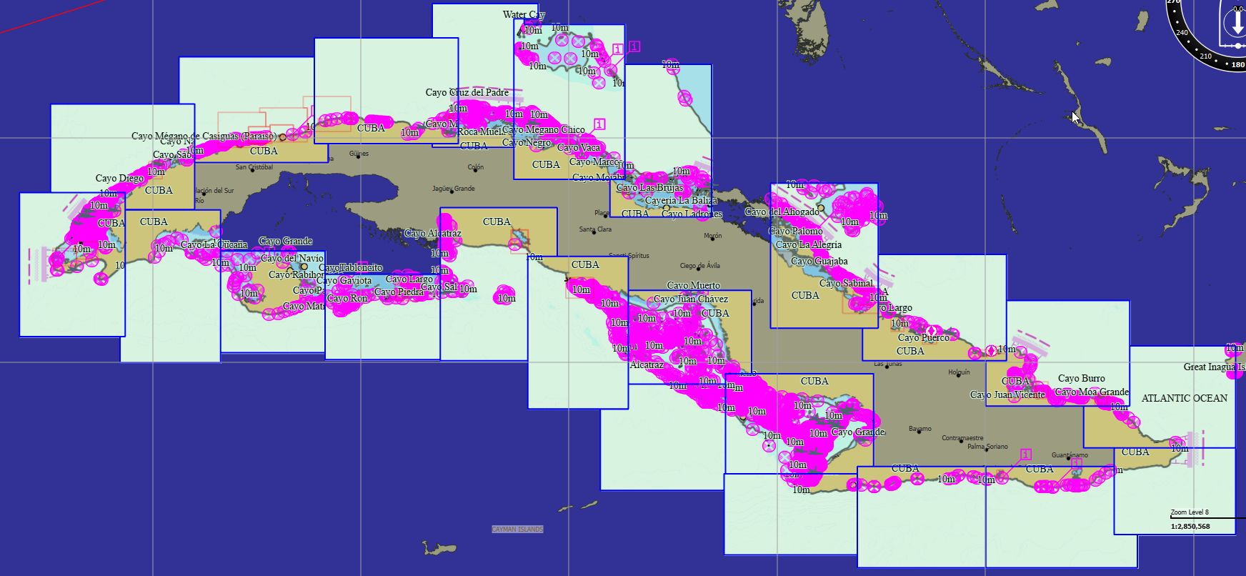
Cuba 69 cartes 79 € Acheter |
|
|
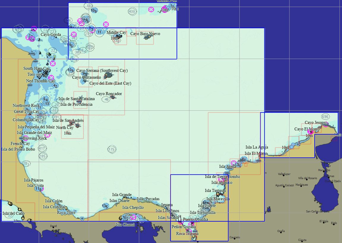
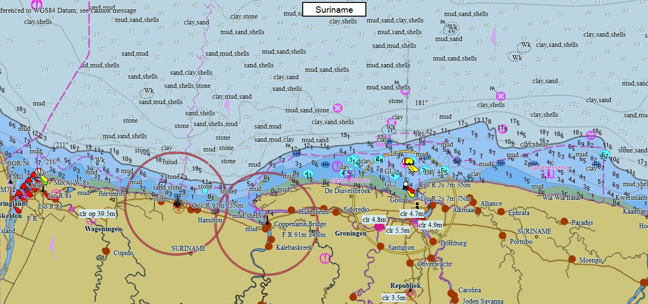
Colombie Caraïbes 56 cartes 139 € Acheter |
|
|
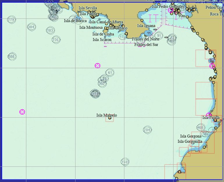
Colombie Pacifique 21 cartes 139 € Acheter |
|
|
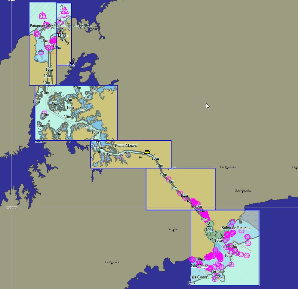
Panama 11 cartes 89 € Acheter |
|
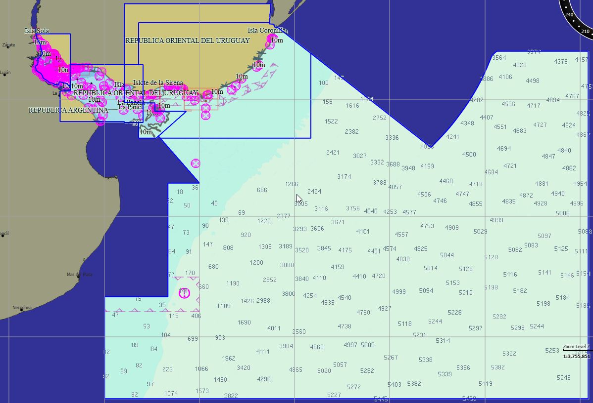
|
Uruguay 32 cartes 99 € Acheter |
|
|
Uruguay Fleuve 28 cartes 79 € Acheter |
|
|
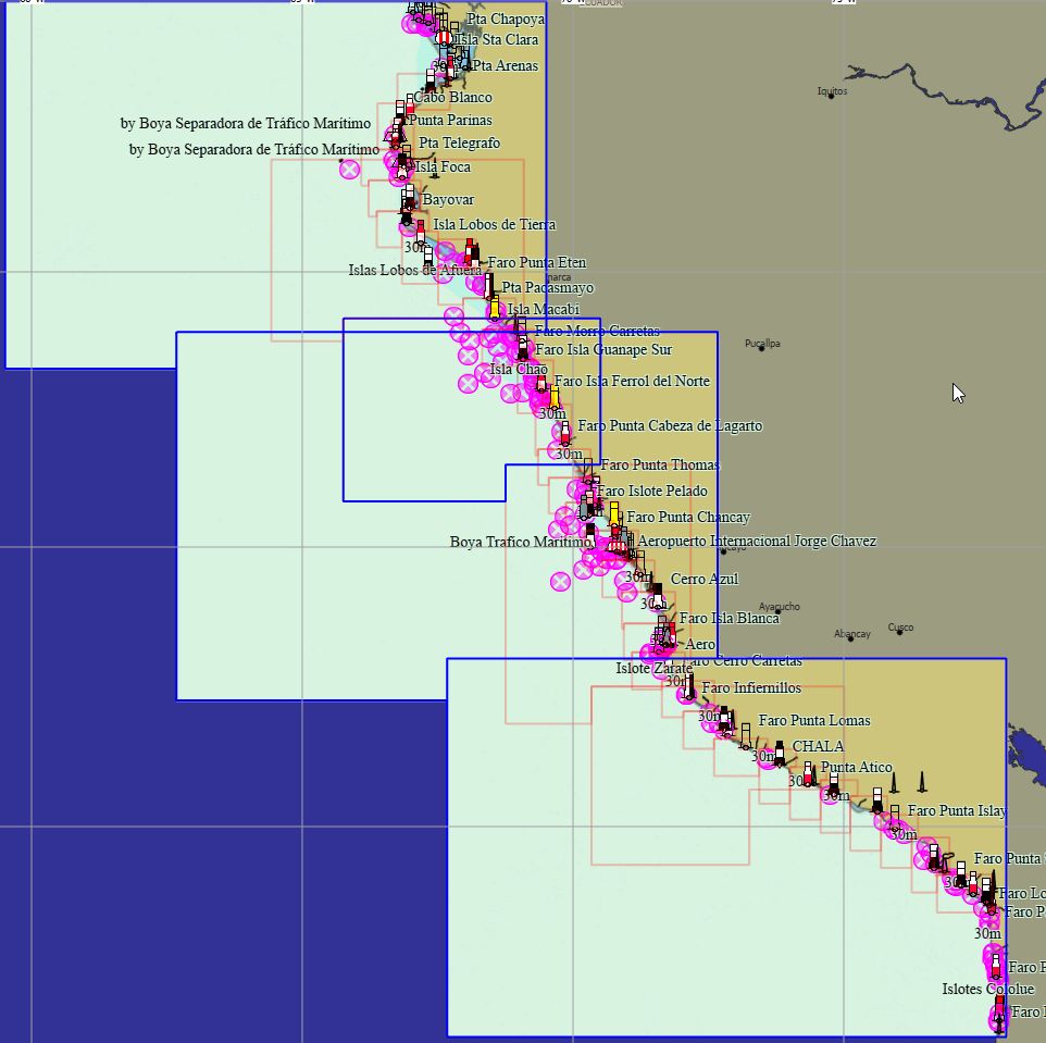
Pérou 131 cartes 89 € Acheter |
|
|
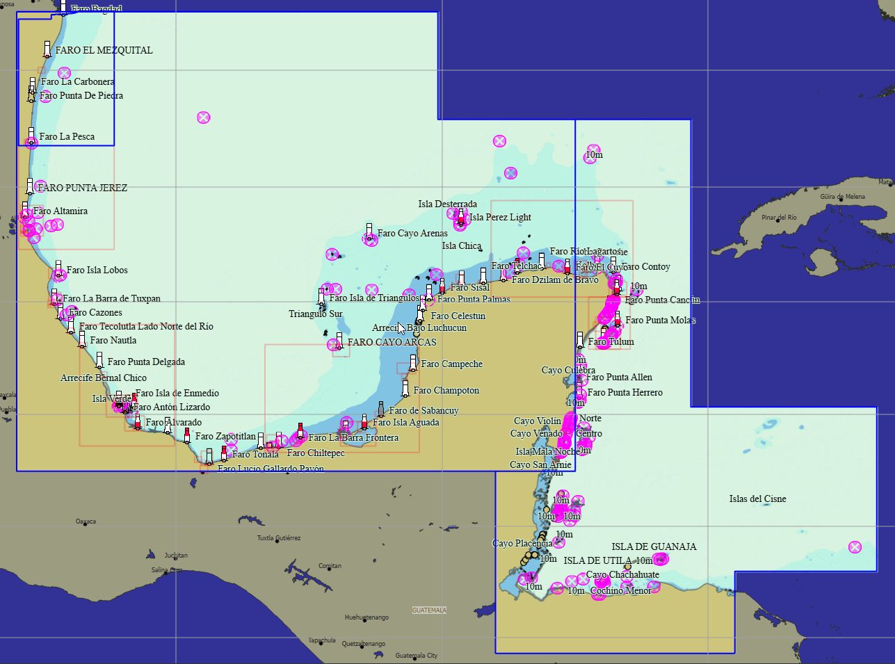
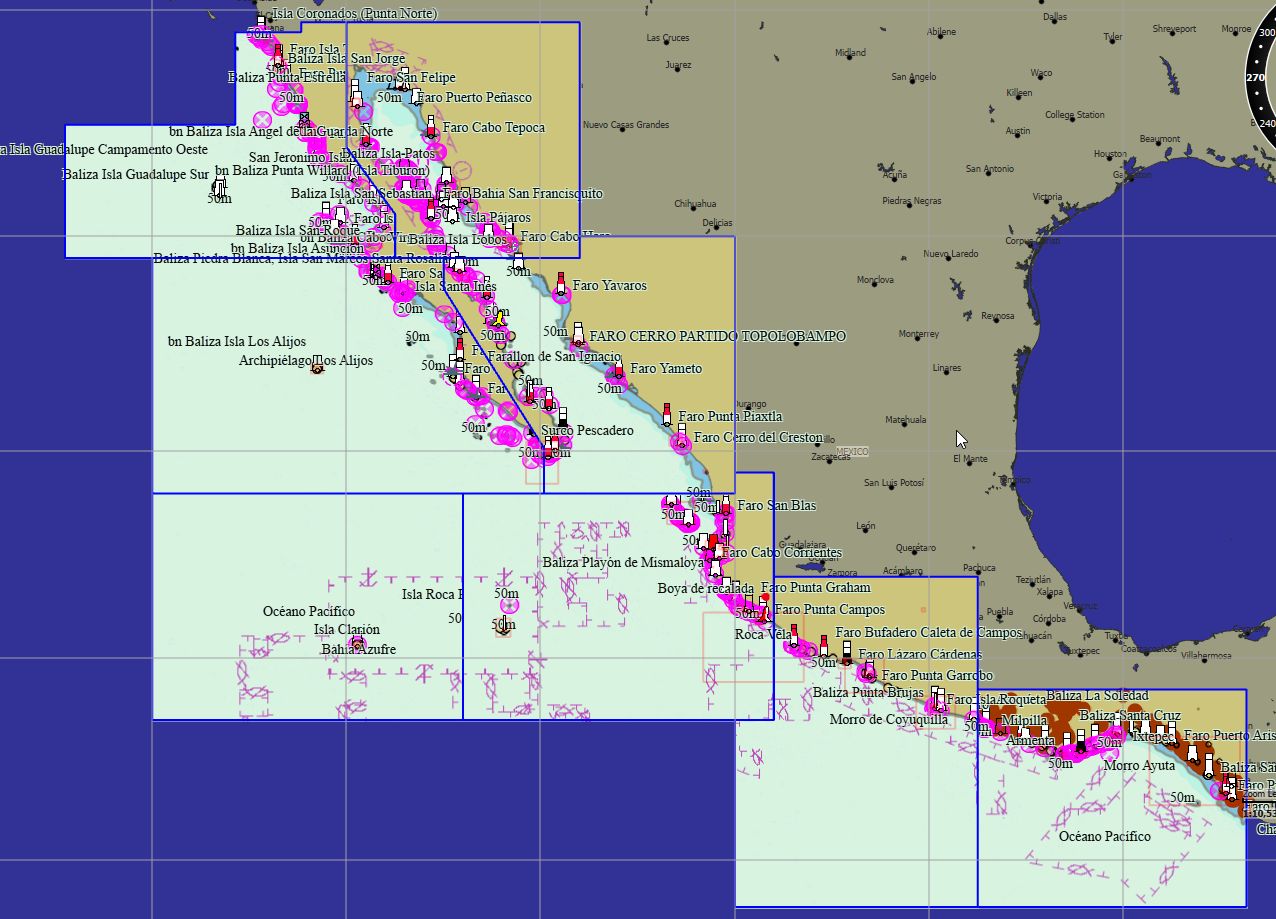
Golfe du Mexique 89 cartes 139 € Acheter |
|
|
Mexique Pacifique 109 cartes 179 € Acheter |
|
|
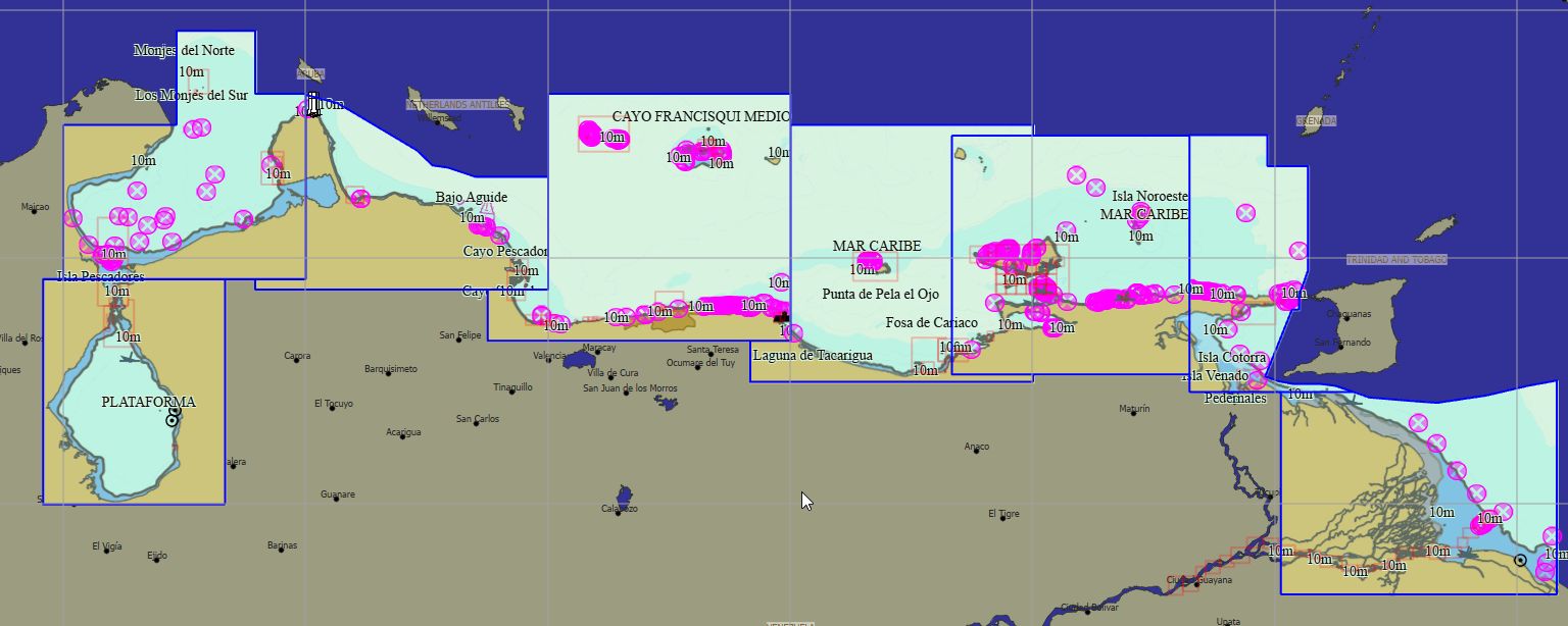
Venezuela 127 cartes 199 € Acheter |
|
|
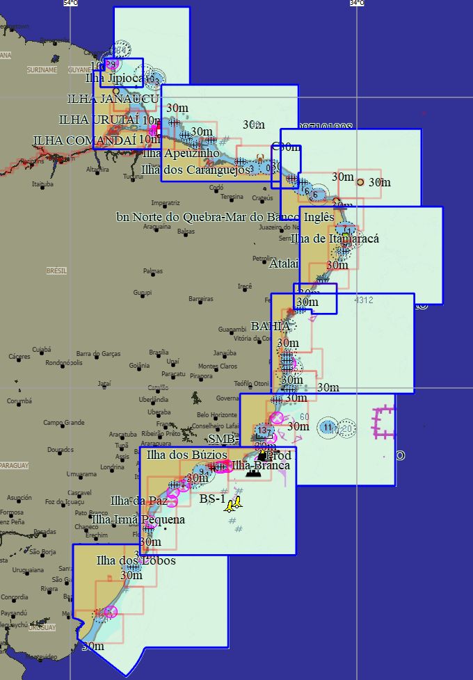
Brésil 169 cartes 29 € Acheter |
|
|
Chili 350 cartes 79 € Acheter |
|
|
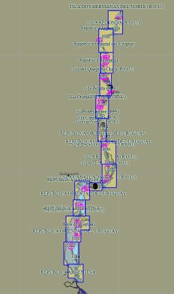
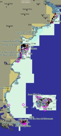
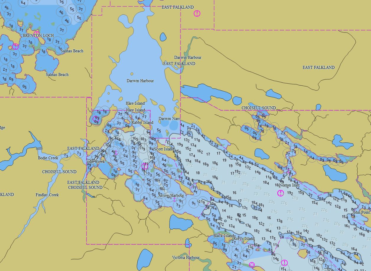
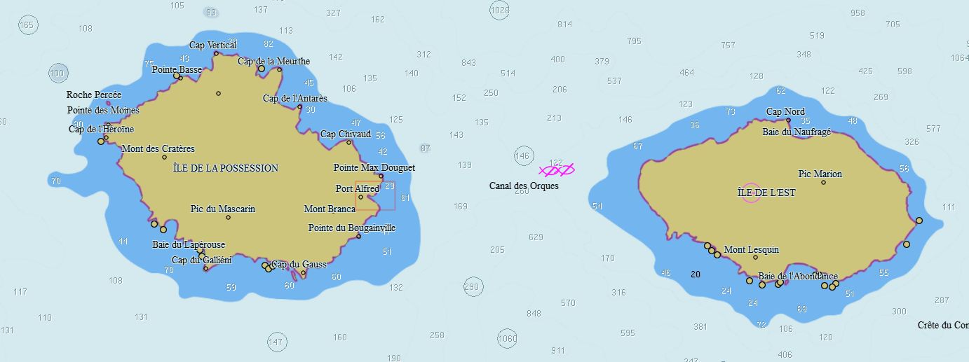
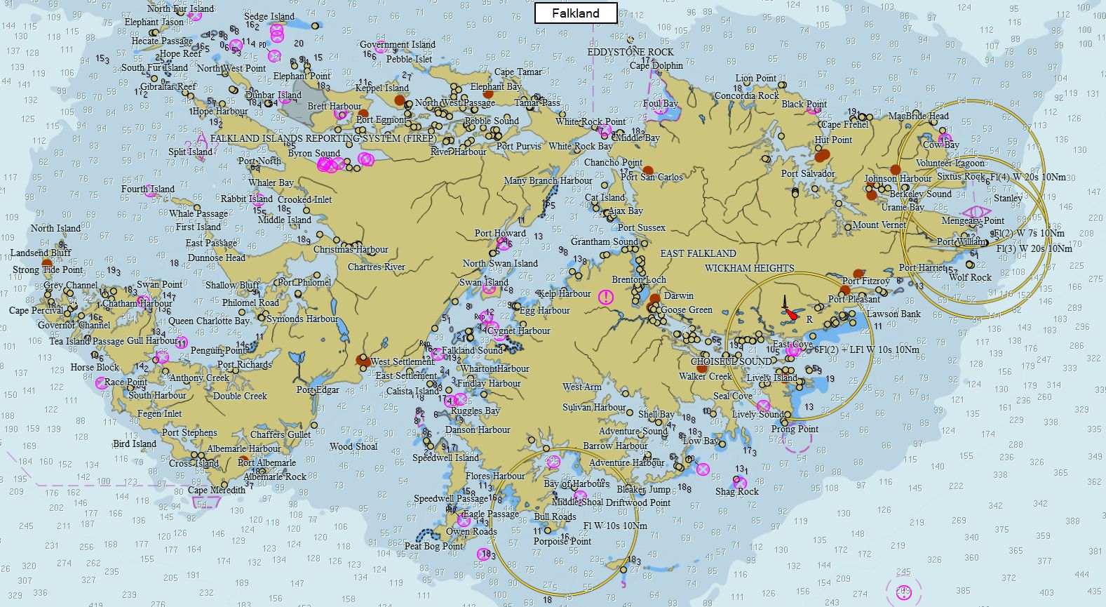
Argentine - Malouines 163 cartes 79 € Acheter |
|
Packs - Autres
|
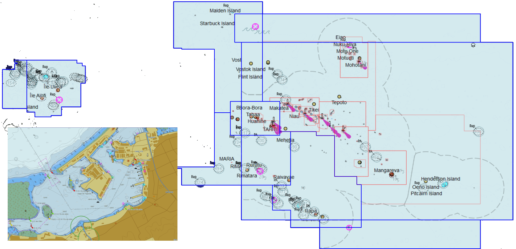
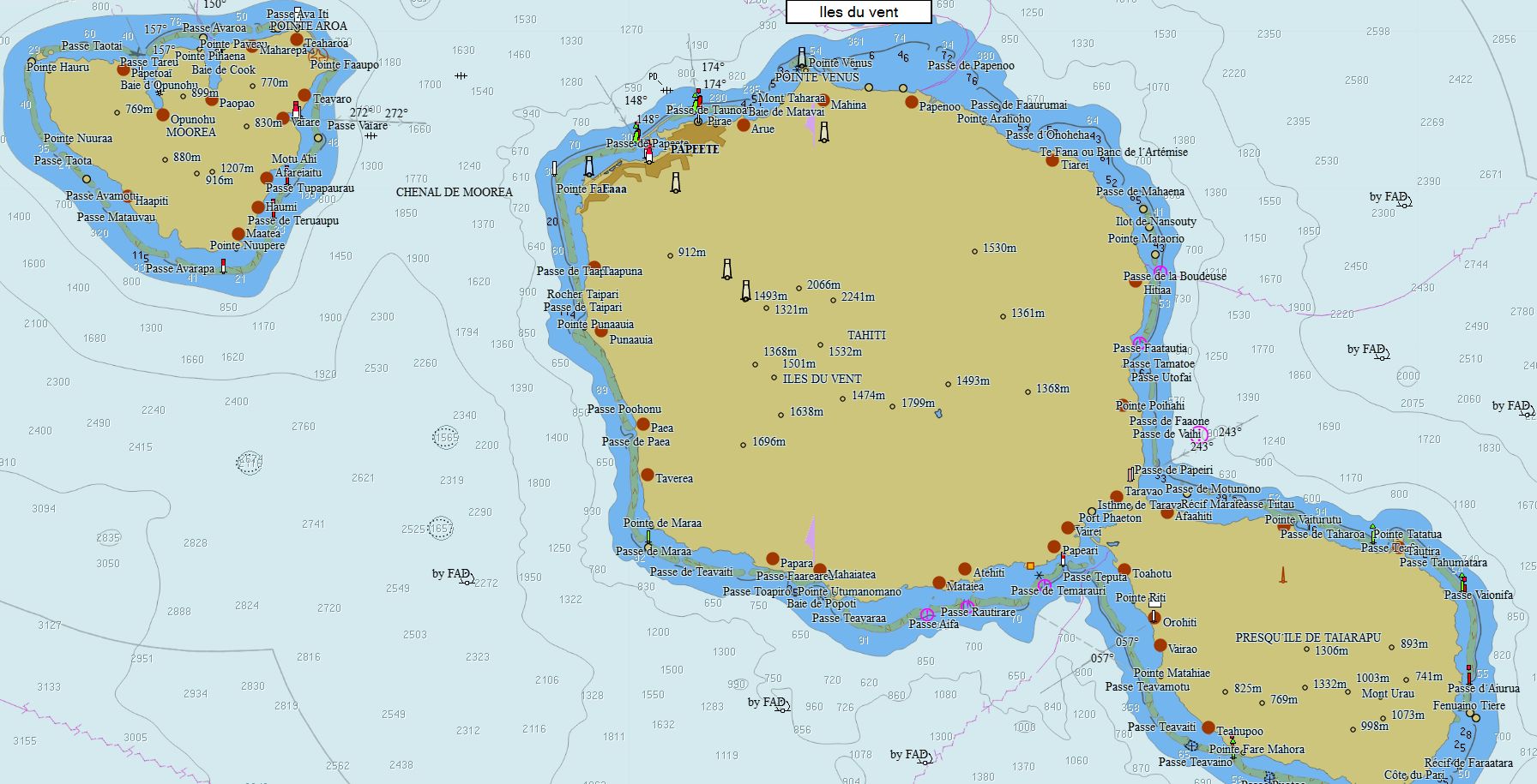
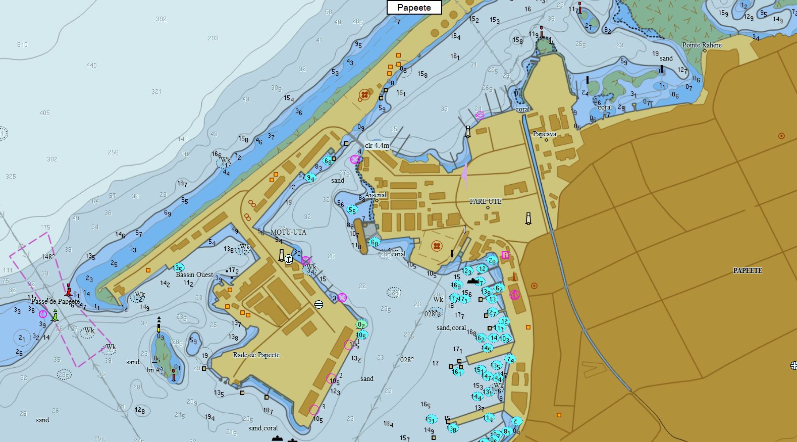
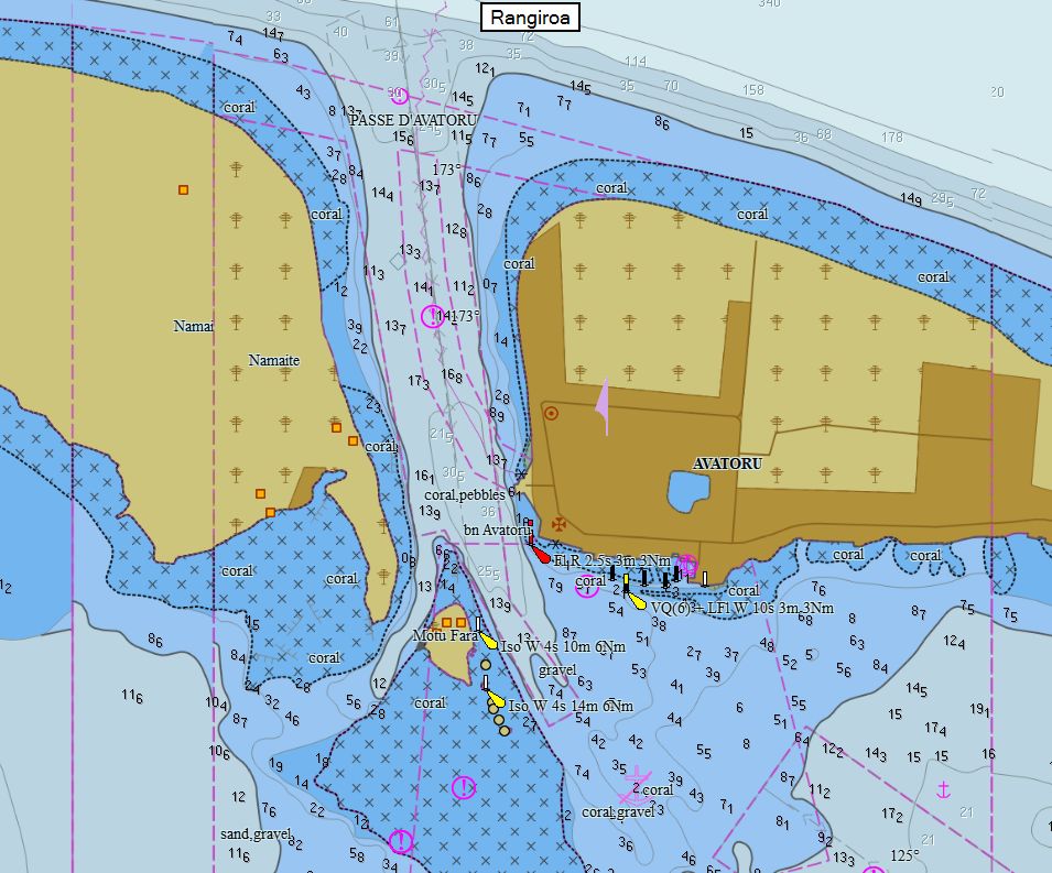
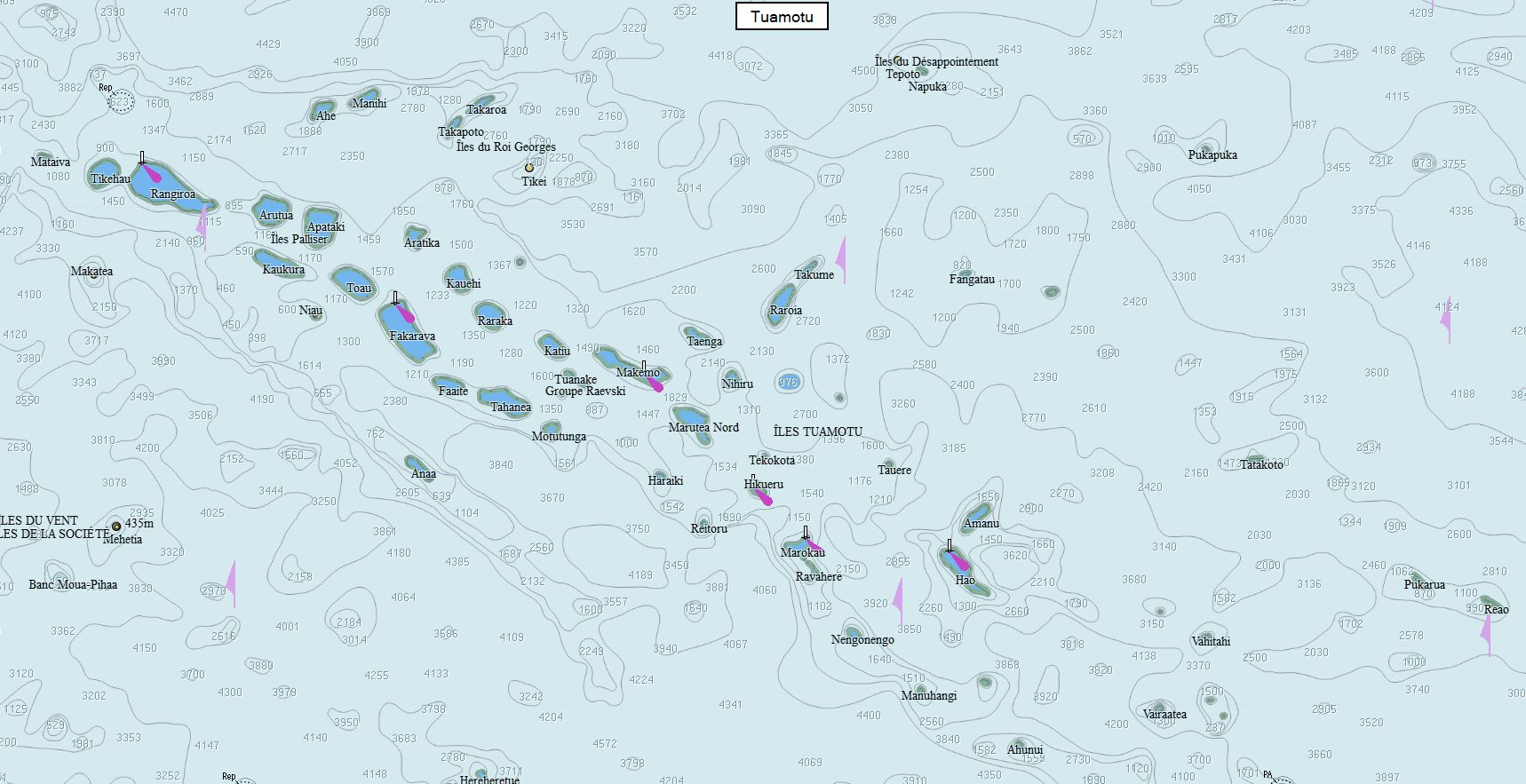
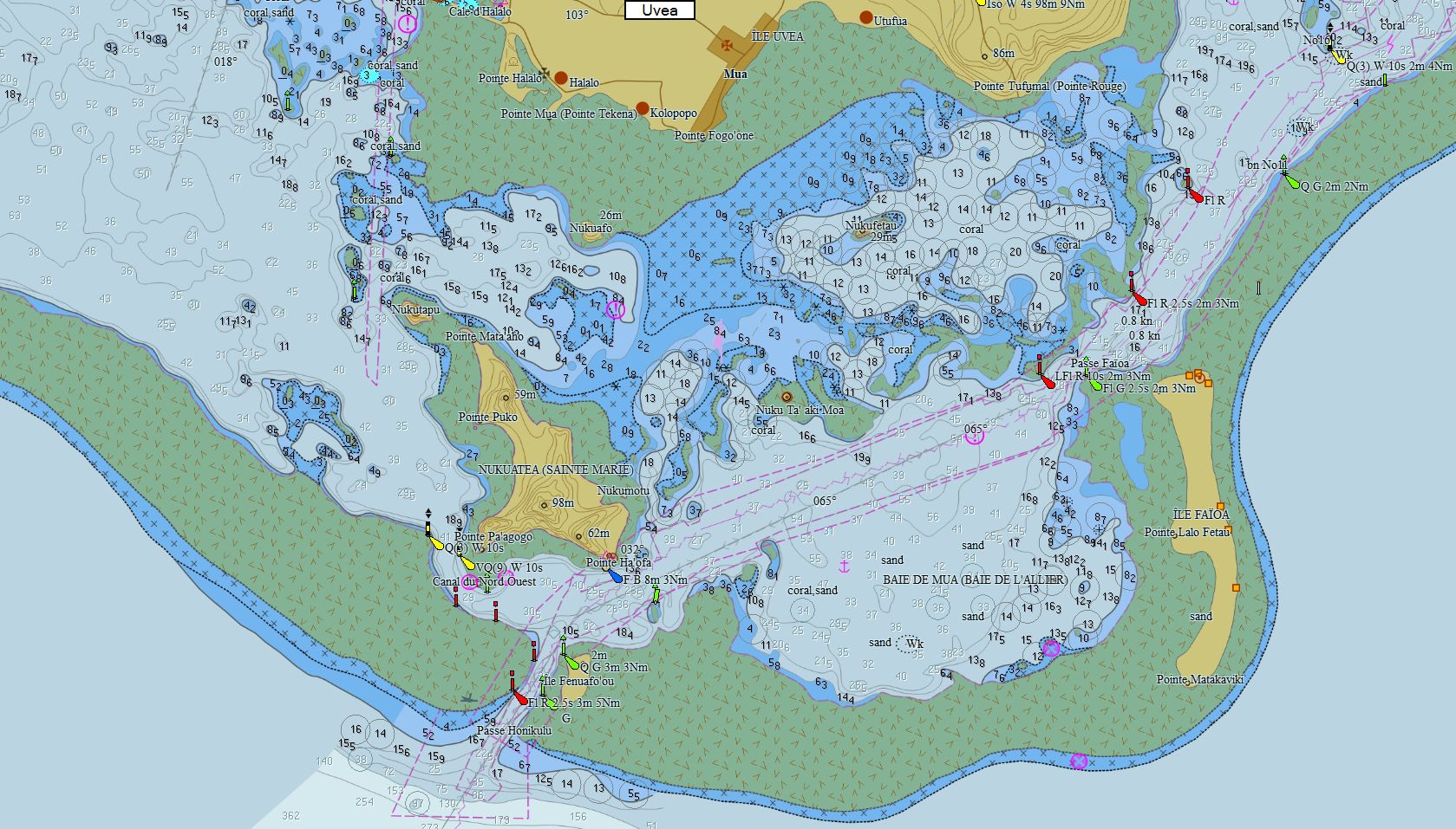
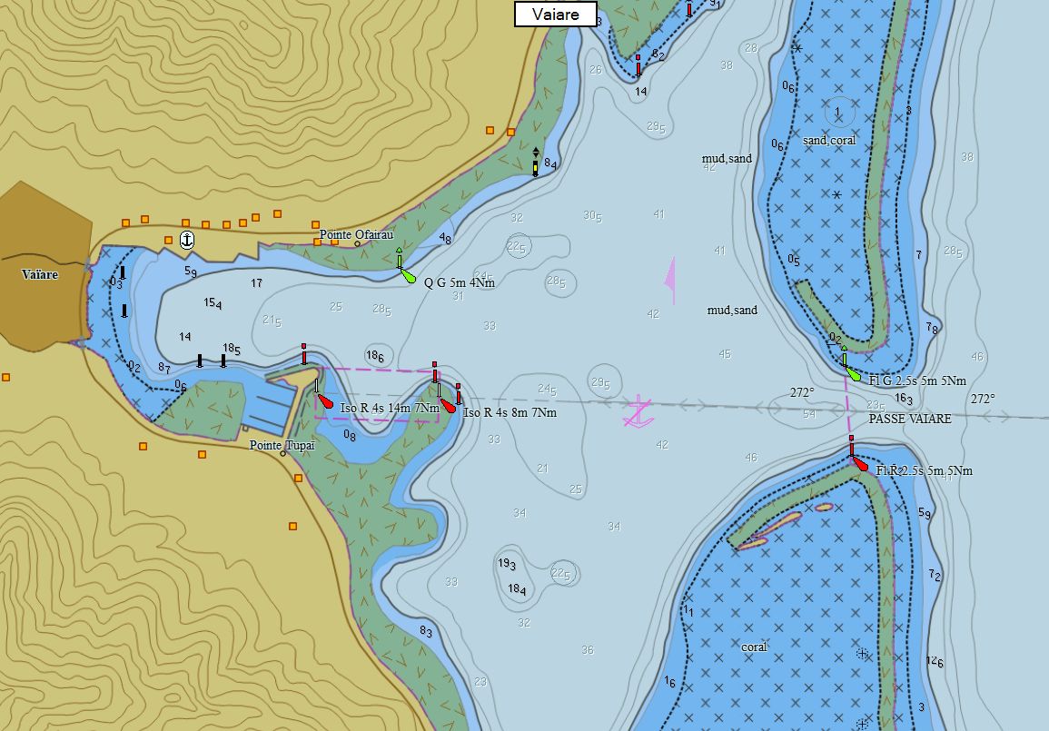
Polynésie Française 180 cartes 99 € Acheter |
|
|
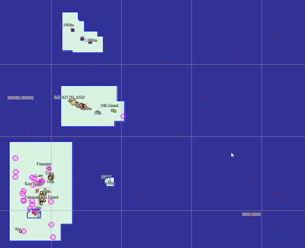
Iles Cook-Niue-Samoa-Tokelau-Tonga 61 cartes 89 € Acheter |
|
|
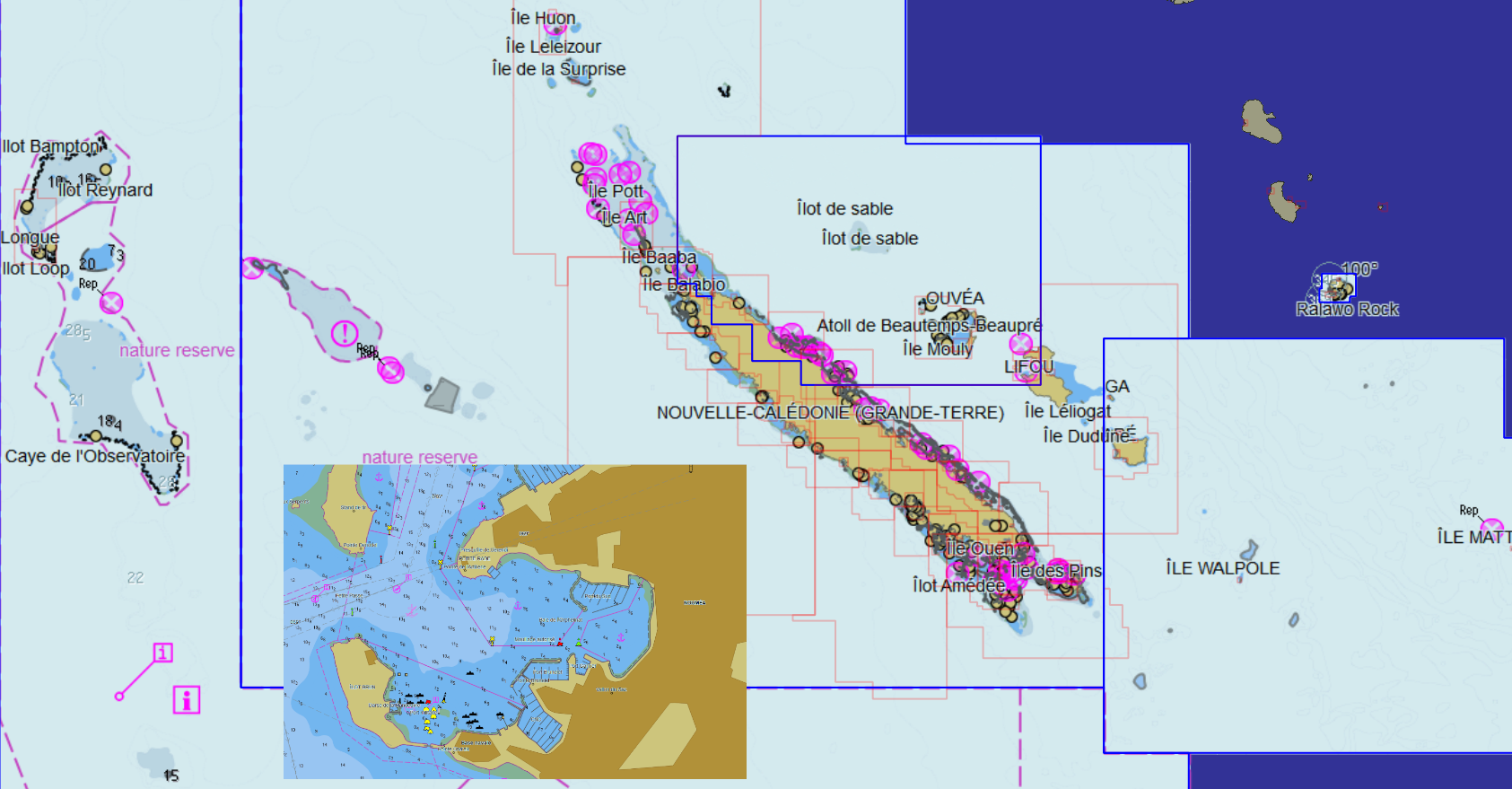
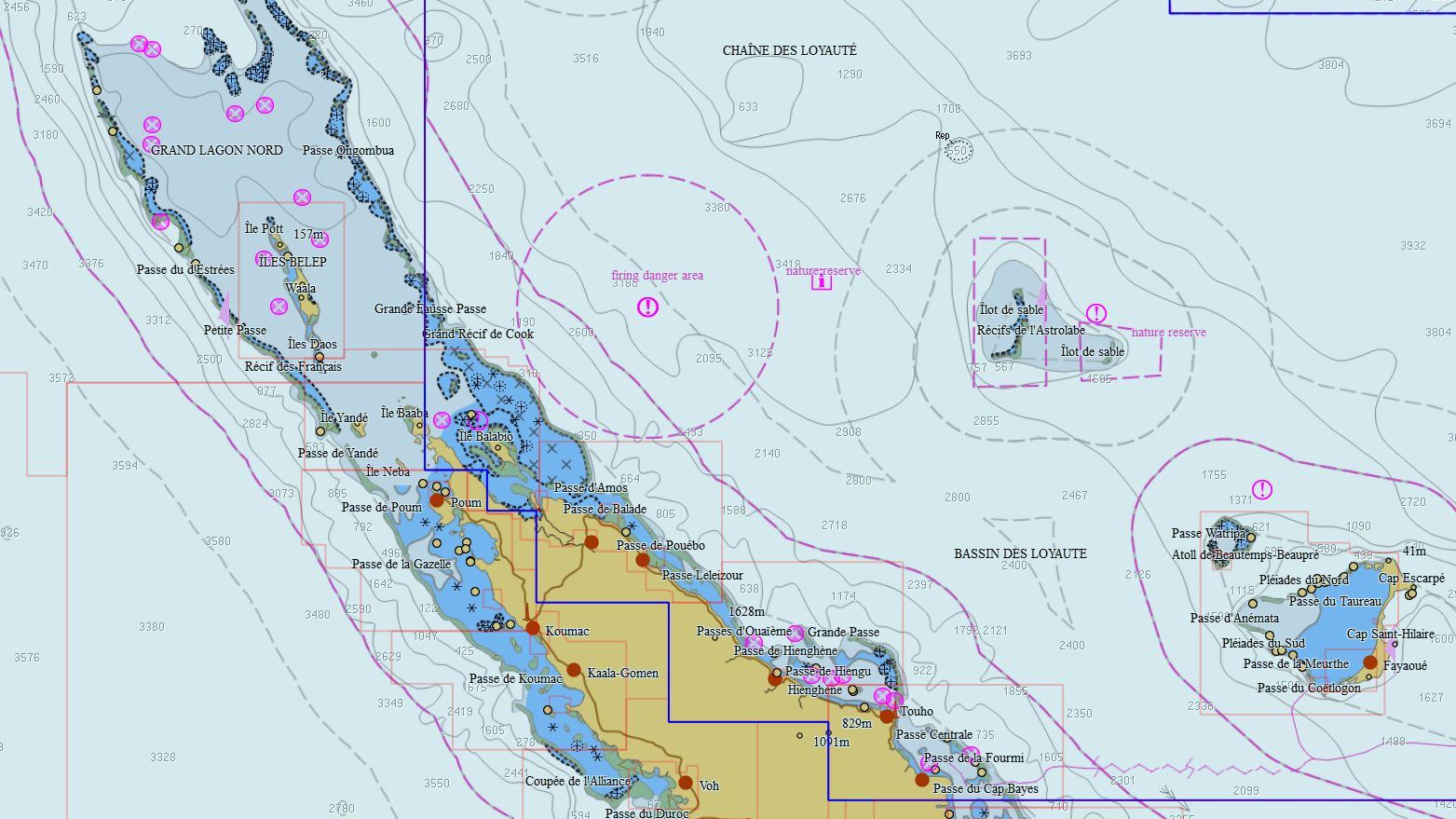
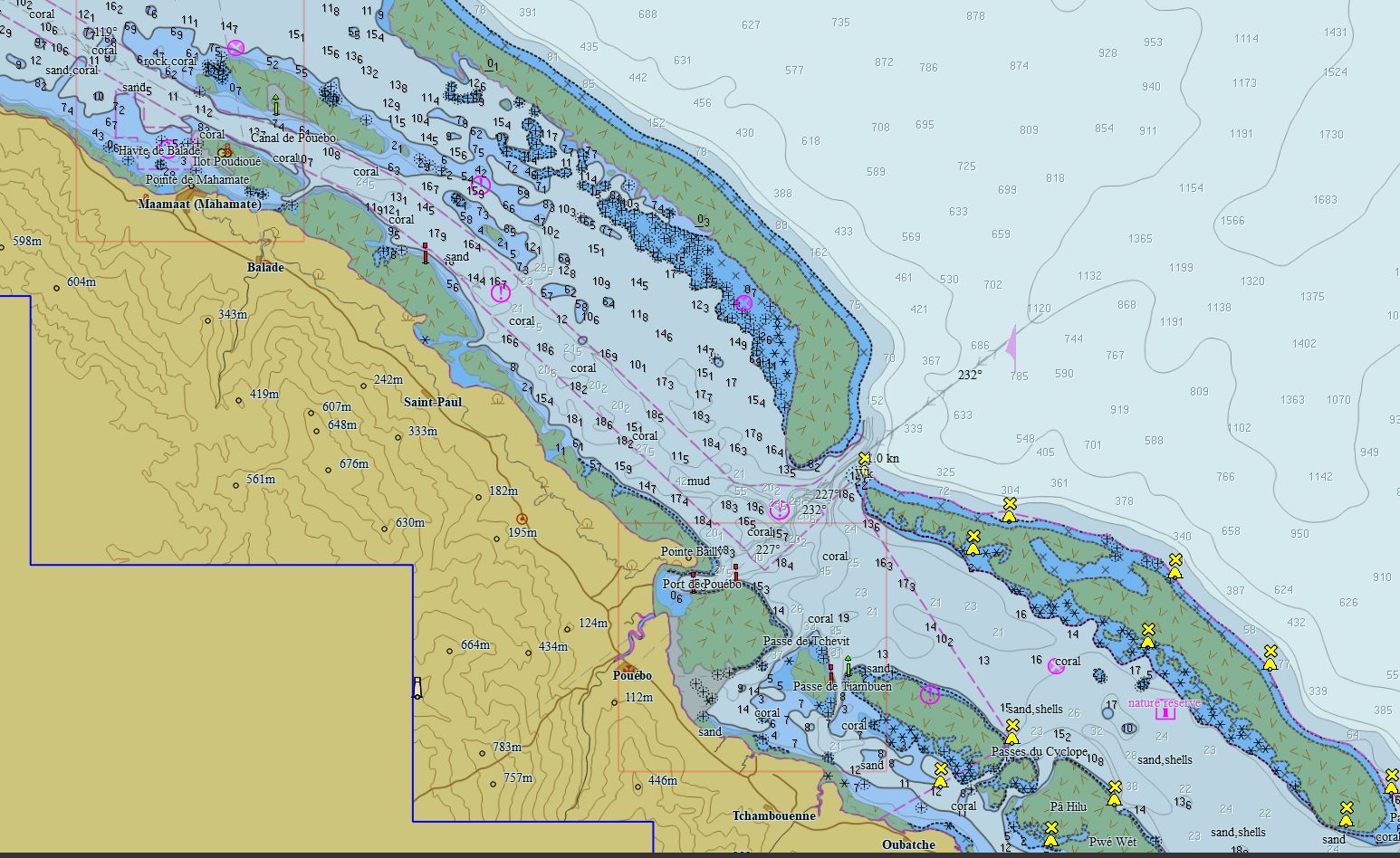
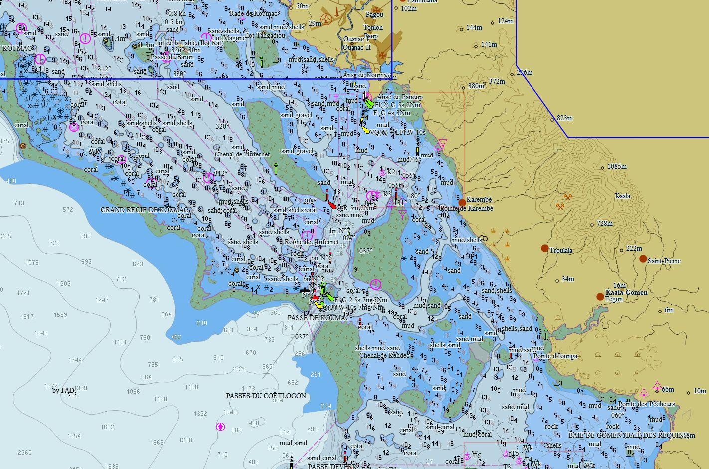
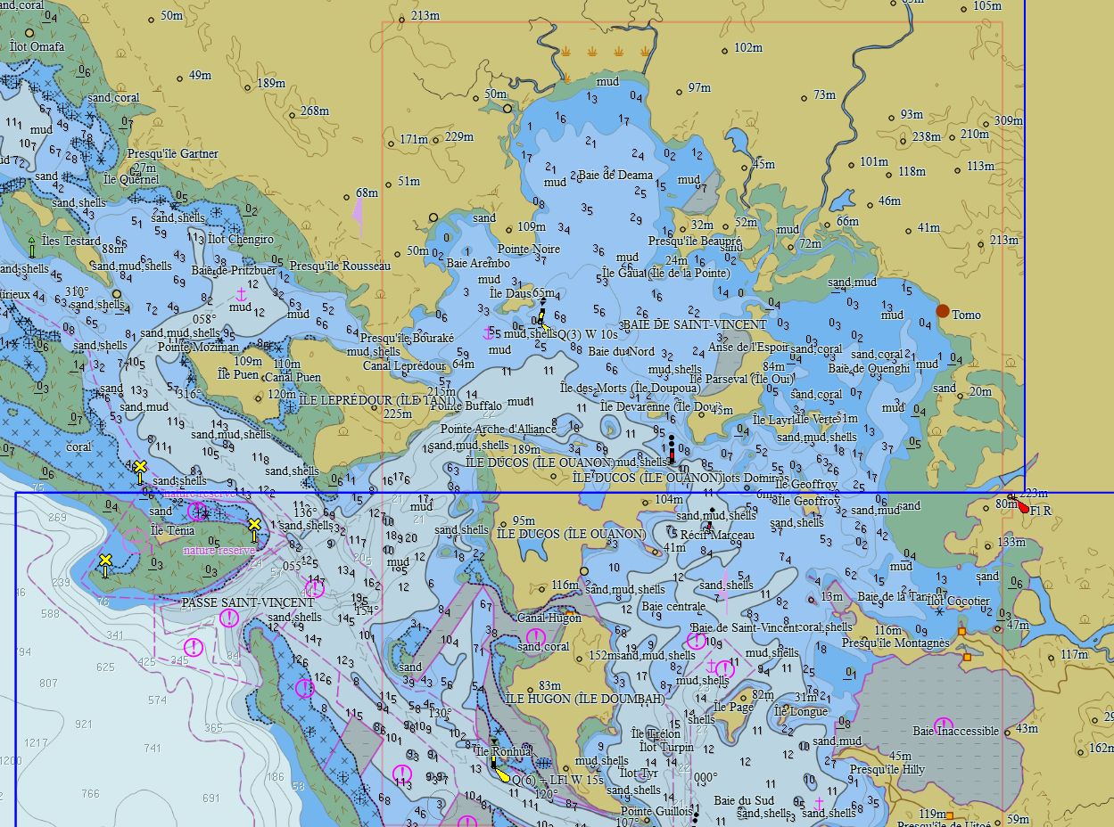
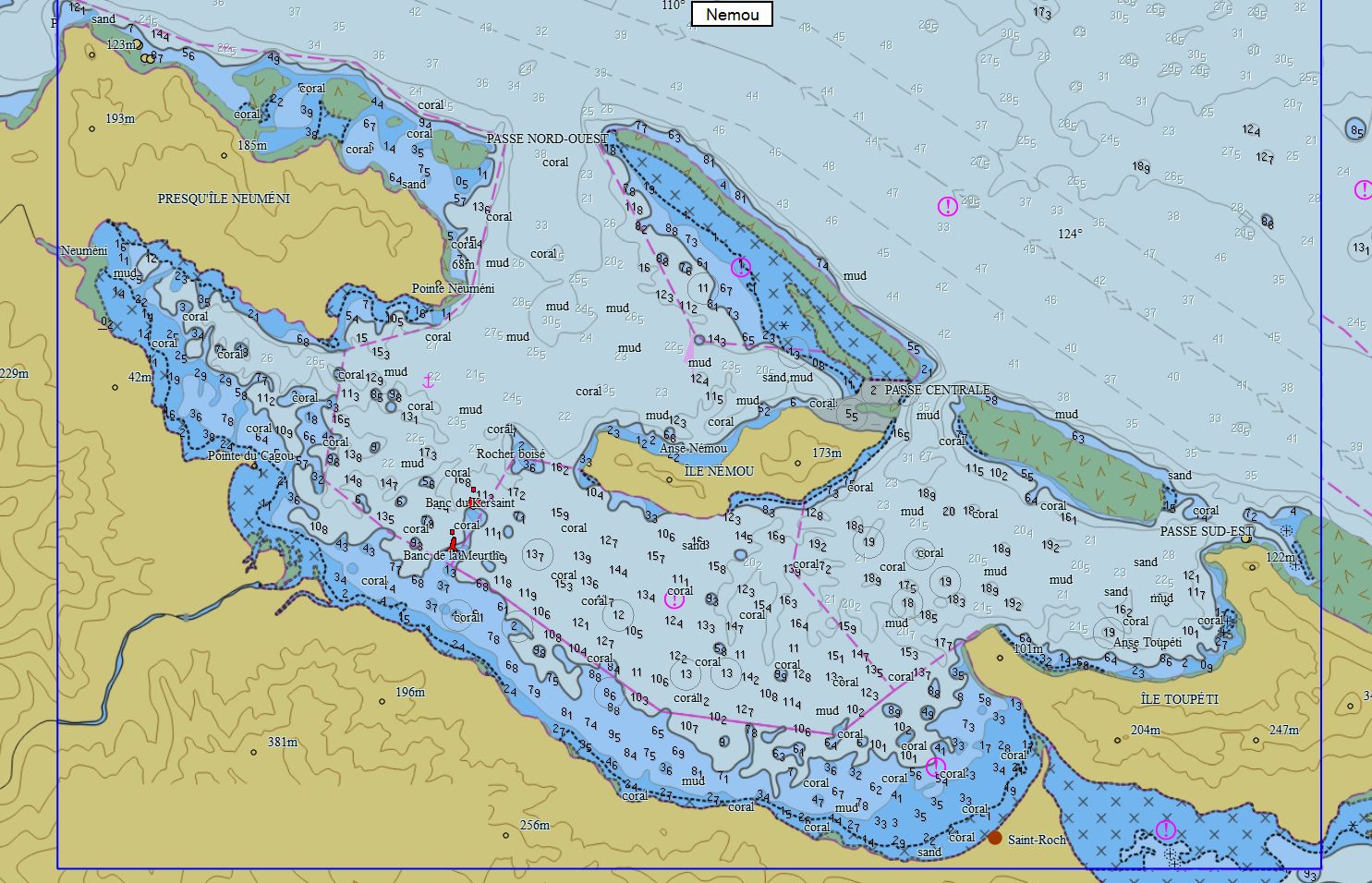
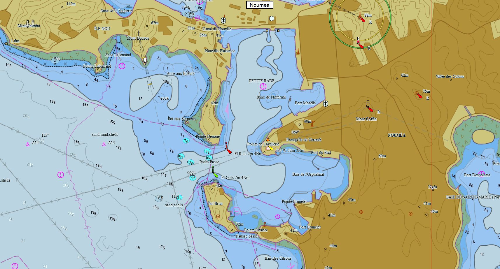
Nouvelle Calédonie 116 cartes 79 € Acheter |
|
|
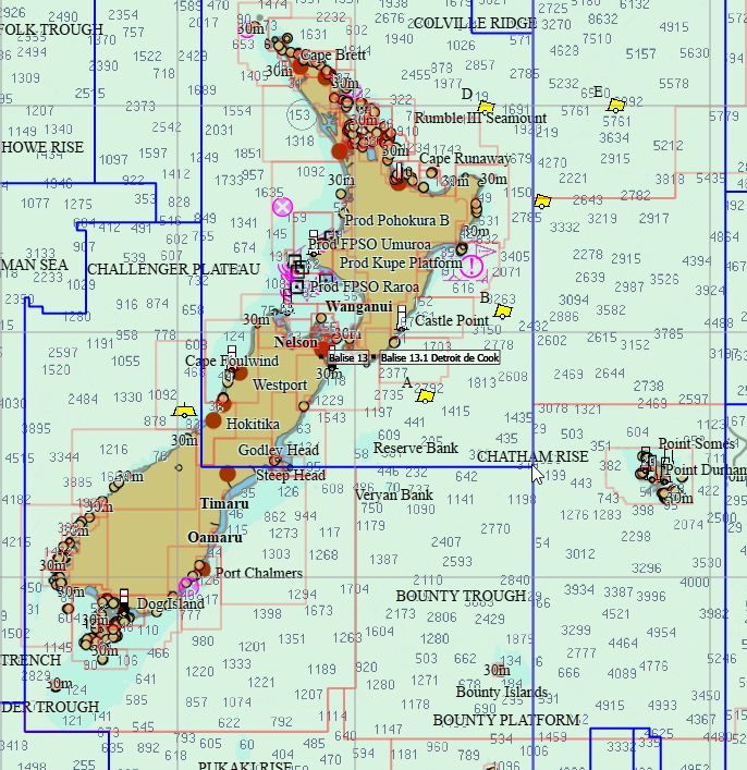
Nouvelle-Zélande 259 cartes 29 € Acheter |
|
|
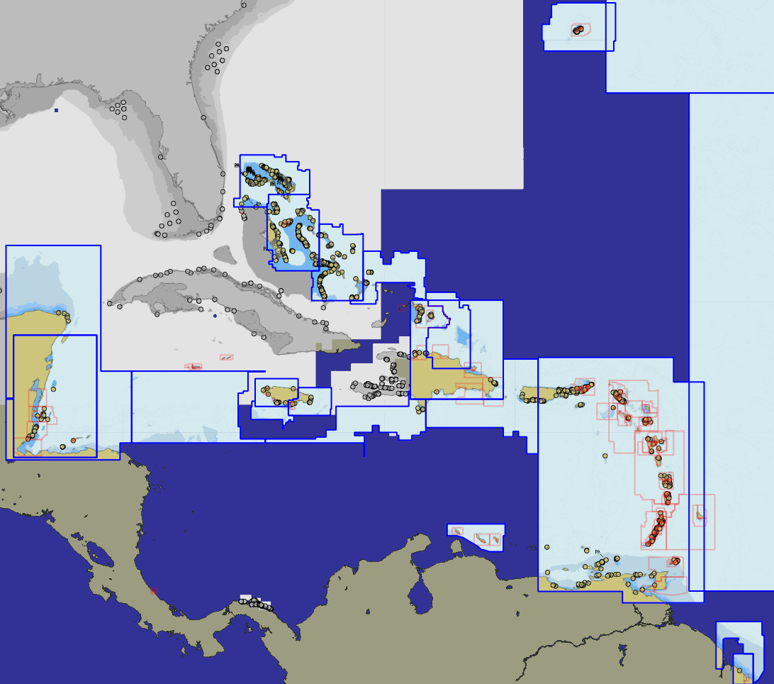
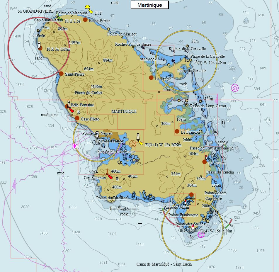
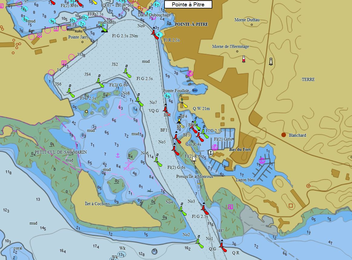
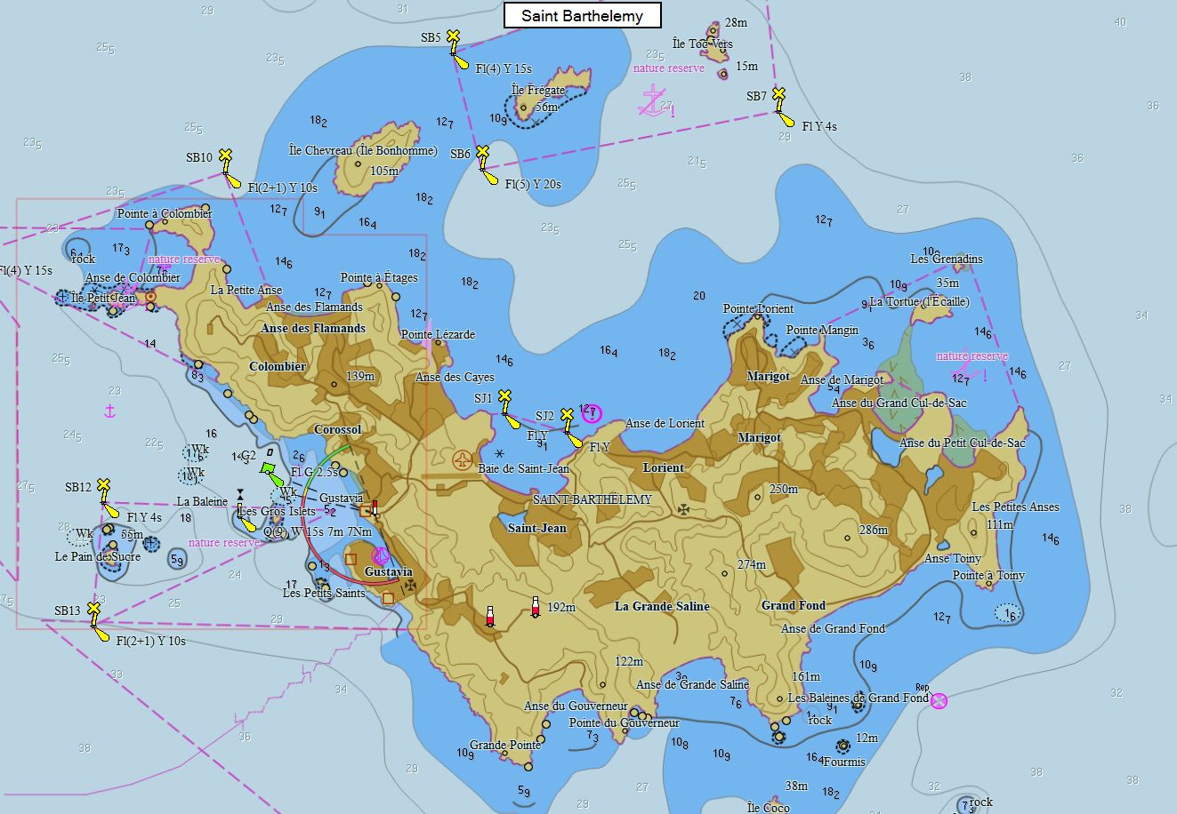
Caraïbes 261 cartes 89 € Acheter |
|
|
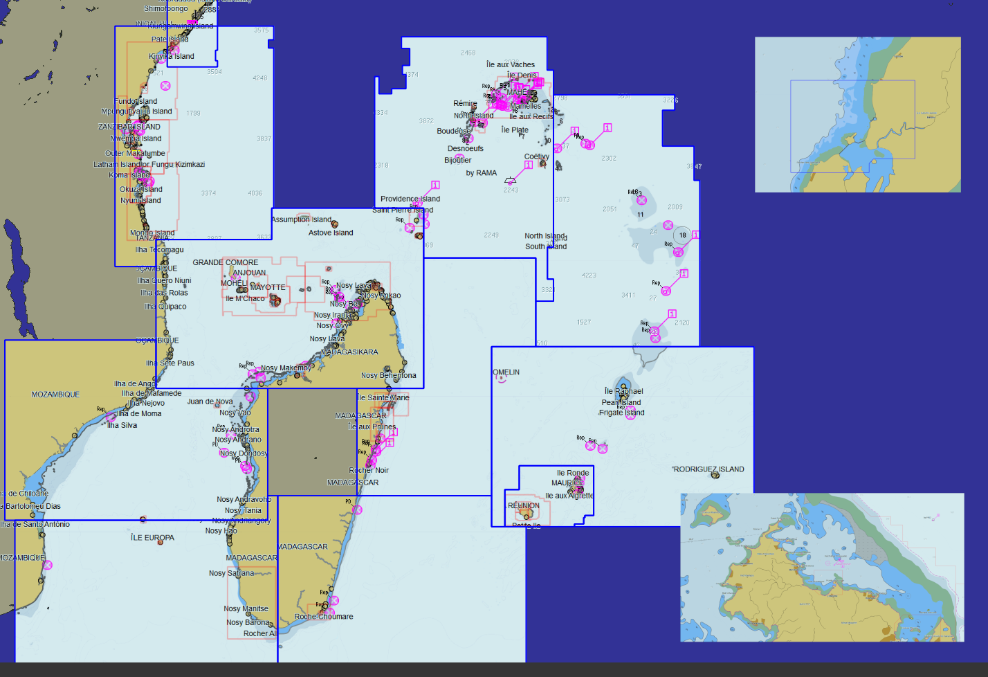
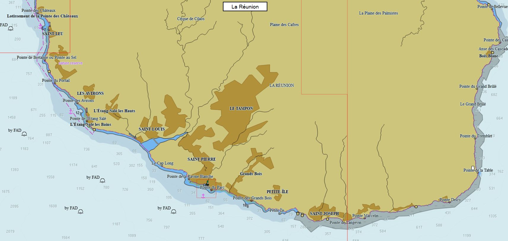
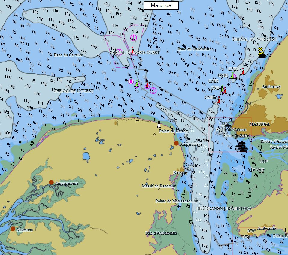
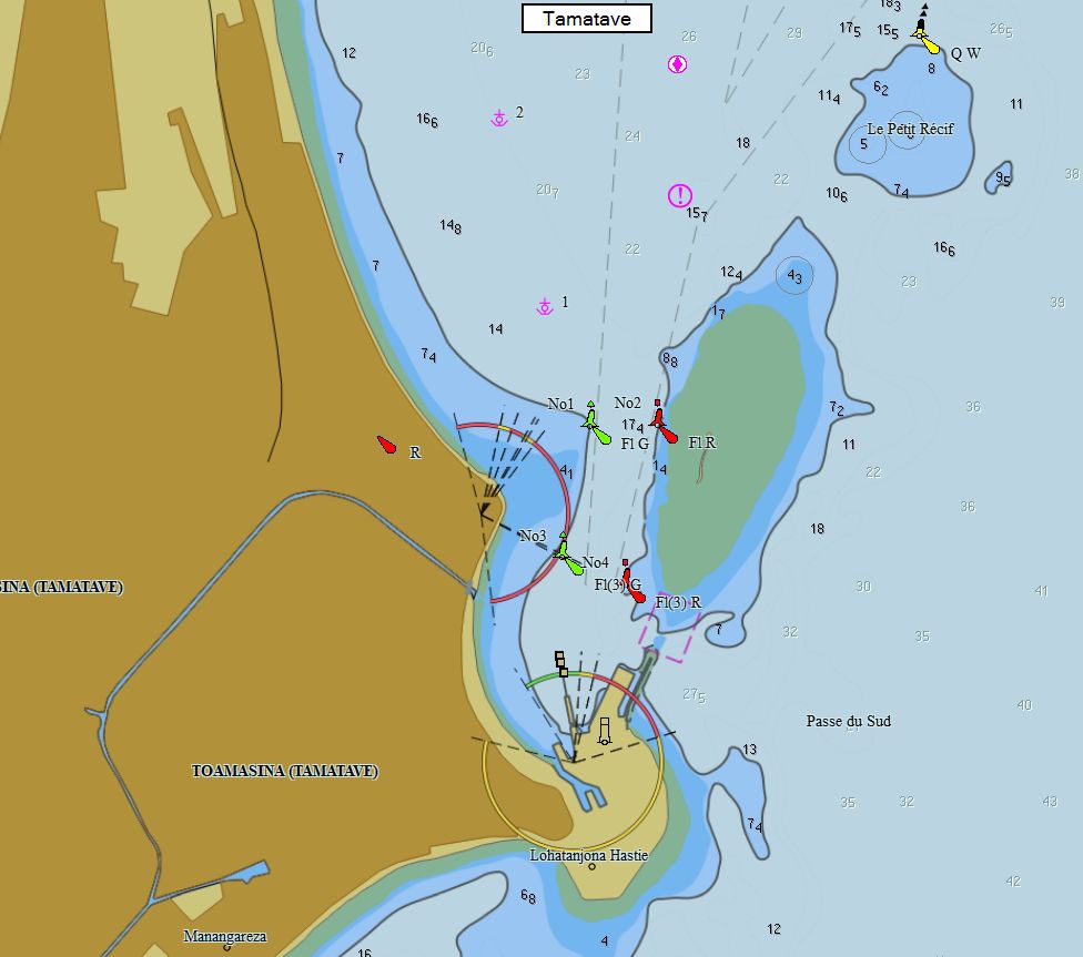
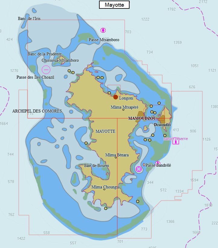
Madagascar - Comores - Réunion 137 cartes 59 € Acheter |
|
|
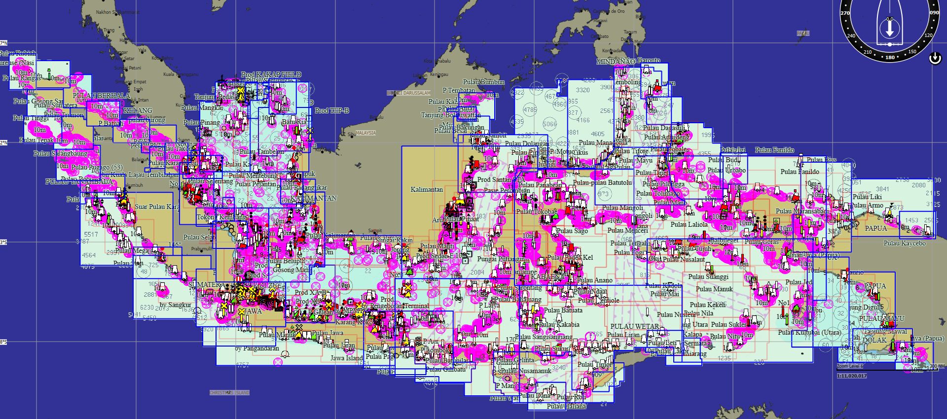
Indonésie 646 cartes 149 € Acheter |
|
|
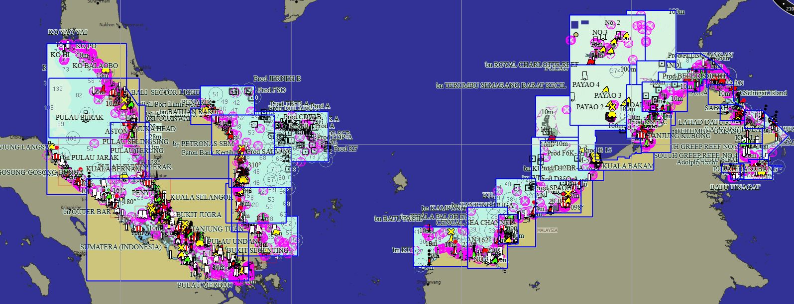
Malaisie 67 cartes 69 € Acheter |
|
|
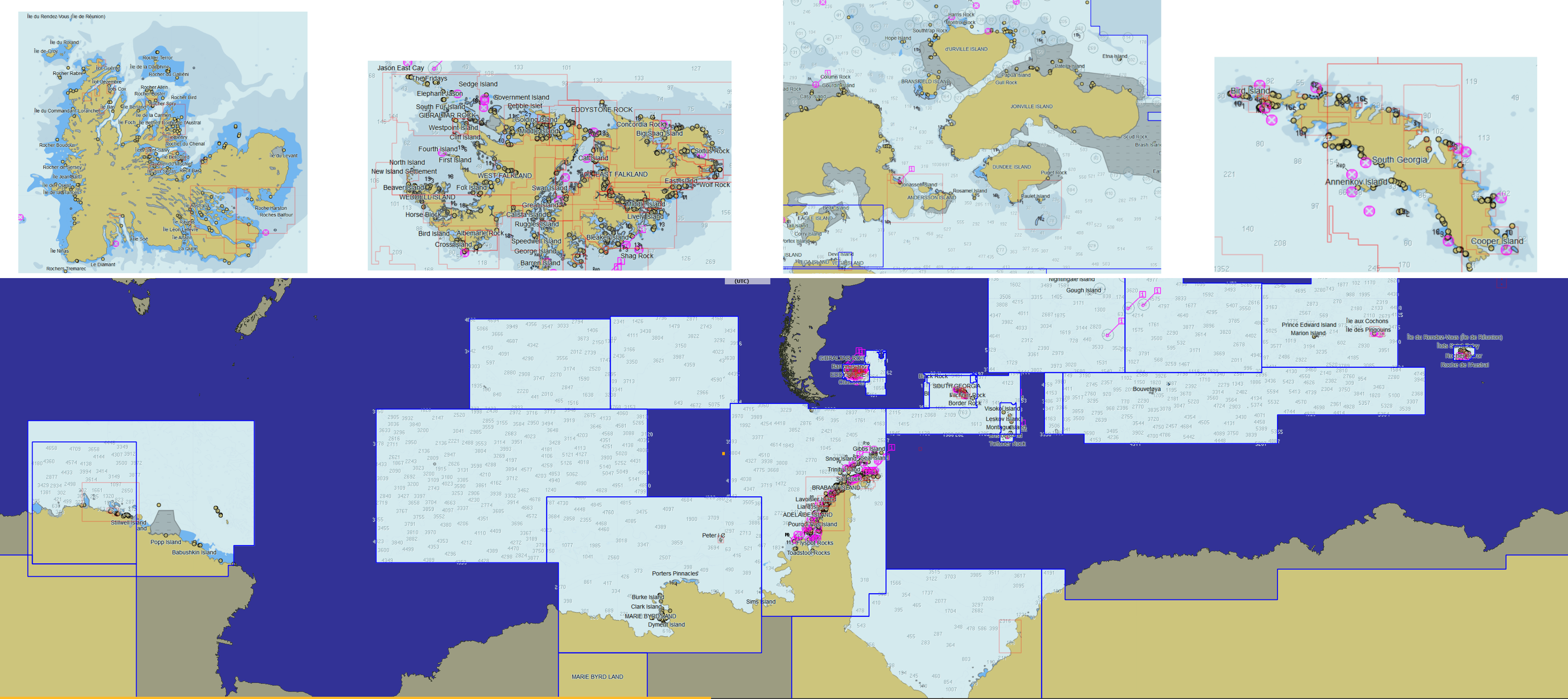
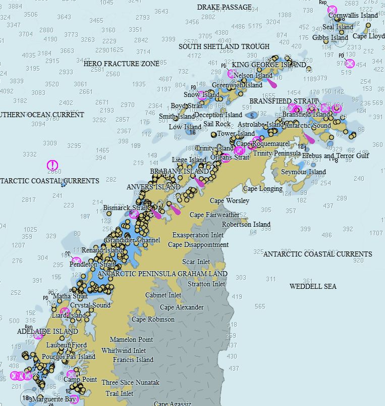
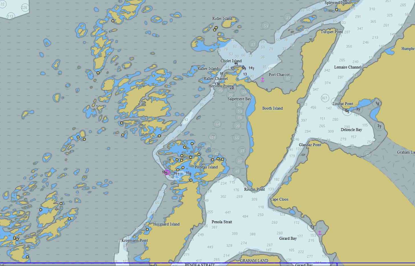
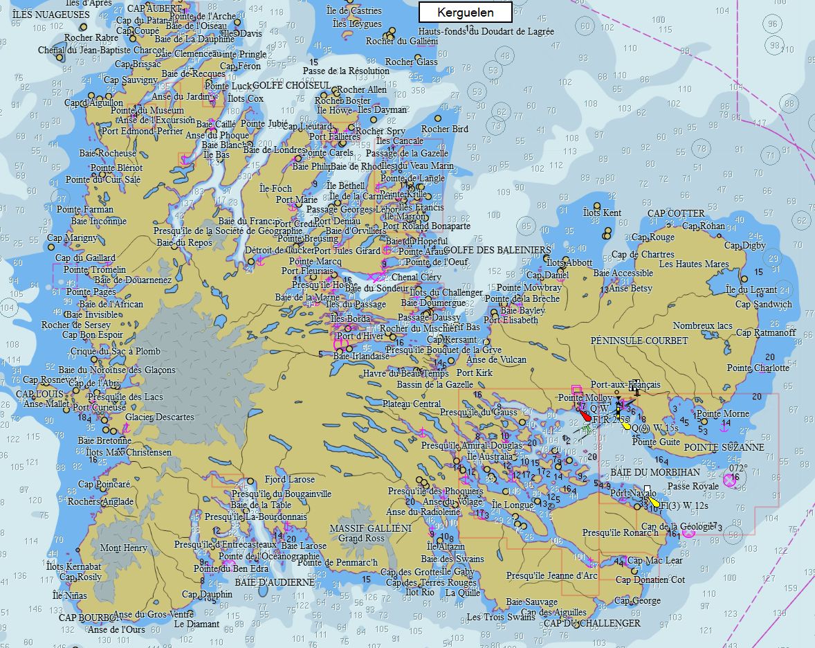
Antarctique - Malouines - Indien 199 cartes 79 € Acheter |
|
|
Transatlantique 566 cartes 149 € Acheter |
|
Avertissements des fournisseurs de carte
SHOM:
Aucun service hydrographique officiel n’a vérifié les informations contenues dans ce document et ne peut être tenu responsable de la fidélité de leur reproduction ou de toute modification ultérieure. La possession de ce produit dérivé n’exonère pas de l’obligation d’utiliser les documents nautiques appropriés prévus par les règlements nationaux ou internationaux.
UKHO:
The UK Hydrographic Office (UKHO) and its licensors make no warranties or representations, express or implied, with respect to this product. The UKHO and its licensors have not verified the information within this product or quality assured it.
It is not allowed to make paper copies bigger than A4 format, and these copies should be used only for own private study. These reproductions may not be used to aid navigation.
This product has been derived in part from material obtained from the UK Hydrographic Office with the permission of the UK Hydrographic Office, the Keeper of Public Records, and the following authorities: UKHO
IC-ENC:
This Service includes (but is not limited to) content based on ENC Data issued by government authorities. The Parties acknowledge and agree that whilst the relevant government authority has confidence in the ENC Data issued, once it is issued and converted into other formats, the relevant government authority has no further control over the said data or the service that is provided to users. This includes, but is not limited to representation, display, completeness, up-to-datedness, or accuracy.
SR:
The Maritime Authority of Suriname and UK Hydrographic Office (MAS and UKHO) make no warranties or representations, express or implied, with respect to this product. MAS and UKHO have not verified the information within this product or quality assured it.
This product has been derived in part from material obtained from the Maritime Authority of Suriname and UK Hydrographic Office with their permission. © Copyright Maritime Authority of Suriname, 2023. All rights reserved.
NL:
This product has been derived in part from material obtained from the Hydrographic Service of the Royal Netherlands Navy and UK Hydrographic Office with their perrmission. © Copyright Hydrographic Service of the Royal Netherlands Navy (NLHS), 2023. All rights reserved.
The Hydrographic Service of the Royal Netherlands Navy and UK Hydrographic Office (NLHS and UKHO) make no warranties or representations, express or implied, with respect to this product. The NLHS and UKHO have not verified the information within this product or quality assured it.
No National Hydrographic Office has verified the information in this product, and none accept liability for the accuracy of reproduction or modification of their own material. No National Hydrographic Office warrants that this product satisfies national or international regulations regarding the use of appropriate products for navigation.
PT:
This product has been derived in part from material obtained from the Instituto Hidrográfico, Portugal (IHPT) and the UK Hydrographic Office with their permission. © Copyright Instituto Hidrográfico, Portugal (IHPT), 2023. All rights reserved.
Instituto Hidrográfico, Portugal (IHPT) and the UK Hydrographic Office (UKHO) make no warranties or representations, express or implied, with respect to this product. The Instituto Hidrográfico, Portugal (IHPT) and the UKHO have not verified the information within this product or quality assured it.
ES:
This product has been derived in part from material obtained from the Instituto Hidrográfico de la Marina and the UK Hydrographic Office with their permission. ©Instituto Hidrográfico de la Marina, 2023. All rights reserved.
THIS PRODUCT IS NOT TO BE USED FOR NAVIGATION. The use of this product for the planning and execution of passages will not meet the requirements of SOLAS.
Instituto Hidrográfico de la Marina (IHM) and the UK Hydrographic Office (UKHO) make no warranties or representations, express or implied, with respect to this product. The Instituto Hidrográfico de la Marina (IHM) and the UKHO have not verified the information within this product or quality assured it.
IS:
This product has been derived in part from material obtained from the Icelandic Coast Guard, Hydrographic Department and the UK Hydrographic Office with their permission.© Icelandic Coast Guard, Hydrographic Department, 2023. All rights reserved.
Icelandic Coast Guard, Hydrographic Department and the UK Hydrographic Office (UKHO) make no warranties or representations, express or implied, with respect to this product. The Icelandic Coast Guard, Hydrographic Department, and the UKHO have not verified the information within this product or quality assured it.
HR:
This product has been derived in part from material obtained from the Hrvatski Hidrografski Institut and the UK Hydrographic Office with their permission.© Copyright Hrvatski Hidrografski Institut, 2023. All rights reserved.
MT:
This product has been derived in part from material obtained from the Malta Hydrographic Office, Ports and Yachting Directorate, Transport Malta and the UK Hydrographic Office with their permission. ©Malta Hydrographic Office, Ports and Yachting Directorate, Transport Malta 2023. All rights reserved.
El Servicio Hidrográfico y Oceanográfico de la Armada de Chile (SHOA) no se hace responsable de los productos de los sistemas ECD Service comercializados por los distribuidores, ni ofrece garantías a los usuarios finales por estos productos no oficiales que no han sido validados por el Estado de Chile
considered as an official product issued by the Maritime Hydrographic Directorate of Romania. All rights reserved.